What is recorded here
Indicated as a circular enclosure on the 1st (1839) ed. OS 6-inch map and as a circular depression with trees in the interior on the revision. Subsequently levelled, the monument is visible as a well-defined cropmark on an aerial photographs (CUCAP AVL081, 15 July 1968; AYK074, 9 July 1969; BGH004 and 005, 16 July 1971). The circular enclosure (diam. c. 50m) is defined by a wide deep inner fosse and broad outer bank which is further enclosed by a slot trench (Gibbons 1990, 7). There is a possible single entrance in the E.
See attached:
KK024-024----_01 aerial photograph (CUCAP BGH004, 16 July 1971)
KK024-024----_02 aerial photograph (CUCAP AYK074, 9 July 1969)
Compiled by: Geraldine Stout
Date of upload: 2 February 2012
The monument record does not grant public access. Check the route and ask the landowner before entering private land.
- What survives
- Recorded monument
Places near here
 Enclosure in Cloghala (gowran By., Bennettsbridge Ed)Enclosure · 522 yd
 IndicatedEnclosure · 694 yd
 Ballynaboley Castle (in ruins)Castle, tower house · 1441 yd
 Ballynaboley Church (in ruins)Church · 1460 yd
 The ClahounForest · 1.1 mi
 The Pey FieldForest · 1.1 mi
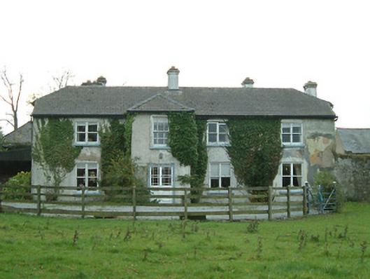 Cloghala Housefarmyard complex · 1.3 mi
 Site of Blanchville CastleCastle, unclassified · 1.5 mi
 Tullaherin Church and Round TowerVisitor information · 2.3 mi
 Kilbline GraveyardArchaeological place · 3.1 mi
 Time CapsuleMemorial · 3.2 mi
 St. Mogarra’s WellSpring · 4.5 mi