DDiscover AloneMapAbout

Building in Cill Maoilchéadair

Building
Building in Cill Maoilchéadair
Photo: N Chadwick, Wikimedia Commons · CC BY-SA 2.0 · Original Geograph photograph · Report the wrong picture

The monument record does not grant public access. Check the route and ask the landowner before entering private land.

What do you know about this place?Tap to add a comment or ask a question

What you write will be public.

What is recorded here

National Monument No. 65. The Early Christian and Medieval ecclesiastical complex at Kilmalkedar (KE042-026----) lies at the foot of the W slopes of Reenconnell hill, overlooking Smerwick Harbour. The Reenconnell ridge peaks at 907 feet/276m to NE of the site and the area around Kilmalkedar is sheltered on its N and S…

Read the whole record
National Monument No. 65. The Early Christian and Medieval ecclesiastical complex at Kilmalkedar (KE042-026----) lies at the foot of the W slopes of Reenconnell hill, overlooking Smerwick Harbour. The Reenconnell ridge peaks at 907 feet/276m to NE of the site and the area around Kilmalkedar is sheltered on its N and S sides by spurs of this hill. (10) St. Brendan's House/Fothrach Bréanainn Figs. 190-191: Traditionally known both as St. Brendan's House and the Priest's House, this rectangular gabled building may have been a clerical residence associated with the parish church in medieval times. In recent years the OPW have carried out repairs and repointing of the stonework. The walls, built of split stone and rubble, rise from a battered base and, with the exception of the SE angle, stand to full height. The 3 storey building measures 11.7 x 7.15m externally, and shortly after its construction was subdivided internally by the addition of a cross- wall. A doorway in the S wall at 1st floor level possibly indicates the former existence of a fore-building. The ground floor entrance in the S wall led directly to the W chamber. The door was set back from the outer wall face, its jambs consisting of uprights of thin section not carried the full height of the opening. The draw bar sockets and pivot hole for the door survive and the flat lintelled doorway has a relieving arch on both the internal and external wall faces. There are 2 narrow double-splayed loops with lintelled rear arches in the N and S walls, each measuring .8m in height. The W wall is fitted with 2 wall presses at its N and S ends. Entry to the E chamber was through a doorway, centrally placed in the cross-wall. Only sections of its broadly chamfered jambs survive, rebated for a door which closed against the W chamber. The dividing wall partly obscures the ingoings of the 2 narrow double-splayed loops in the N and S walls of the E chamber. The SE angle survives to a height of c. 1.5m and preserves the remains of a wall-cupboard. Access to the 1st floor was probably by means of a wooden stairs either in the interior or possibly in a forebuilding. This storey had a wooden floor carried on corbels which survive on the E gable and the N wall; beam holes are visible on both gables. The W chamber was lit by a narrow ogee-headed window, .94m high, centrally placed on the W gable. The window had splayed ingoings and stepped lintelled rear arch; the chamfered jambs were rebated for a shutter. THis gable is fitted with a wall-cupboard at its S end and there are 2 similar cupboards in the N wall. The narrow rectangular window in the N wall of the W chamber has chamfered dressings and a flat lintelled rear arch. The splayed E ingoing has been reduced in width by the addition of a skin of masonry applied as bonding for the cross-wall. A ragged hole in the S wall preserves only the splayed ingoings and stepped lintelled rear arch of its former ope. The round-headed doorway in the S wall has chamfered dressings and a flat lintelled rear arch. The jambs are rebated internally for a door, the pivot holes for which survive. There are 2 doorways in the internal dividing wall at 1st floor level, suggesting that the chambers on this floor were further subdivided, probably by a wooden partition. The central, round-headed doorway is similar to that in the S wall, but the narrow doorway at the N end of the cross-wall now lacks its head. The latter had a flat lintelled rear arch and the surviving chamfered jamb was rebated on its E face for a door. This door probably led to the garderobe chamber in the NE corner of the E room. A large flag, angled across the junction of the N and E walls, supports the plain flat-headed doorway of the garderobe chamber. Lit by a narrow loop in its curved E wall, this chamber was roofed by flat flags; the NE angle has been repaired in modern times. The E chamber was probably lit by a window in the fallen S wall and the remains of a wall-cupboard are preserved in the SE angle. Of the 2nd or attic storey, only a wall press on the E gable is preserved and it is not clear whether the dividing wall was carried any higher than the 1st floor. See attached plan and B/W photograph of St. Brendan's Oratory taken from Cuggape 1986. Dingle Peninsula archaeological survey. Ballyferriter. Oidhreacht Chorca Dhuibhne’ (1986), no. 855.

From the National Monuments Service (Archaeological Survey of Ireland) record KE042-026009

Places near here

Photo credits
  • Maker not stated on source page, au.pinterest.com
  • Maker not stated on source page, www.pinterest.com
  • Maker not stated on source page, www.alamy.com
  • Seandálaí, Wikimedia Commons · CC BY-SA 4.0
  • Maker not stated on source page, ru.pinterest.com
  • Nigel Cox, Wikimedia Commons · CC BY-SA 2.0
  • Maker not stated on source page, www.dreamstime.com
  • Ingo Mehling, Wikimedia Commons · CC BY-SA 3.0
  • Boston at English Wikipedia, Wikimedia Commons · Public domain
  • Mick Garratt, Geograph · CC BY-SA 2.0
  • Ramsey Cardy / Sportsfile, credited in The Irish Times caption, www.irishtimes.com
Ogham stone in Cill MaoilchéadairOgham stone · 128 yd

Explorer Tom Ogham stone in Cill Maoilchéadair is guarded by a dog who thinks he's a bishop. He barks at shadows and demands…

Stone CrossCross, High cross · 133 yd

Explorer Tom Stone Cross in Cill Maoilchéadair caused the whole parish to argue about which way was north. It sits on the south side…
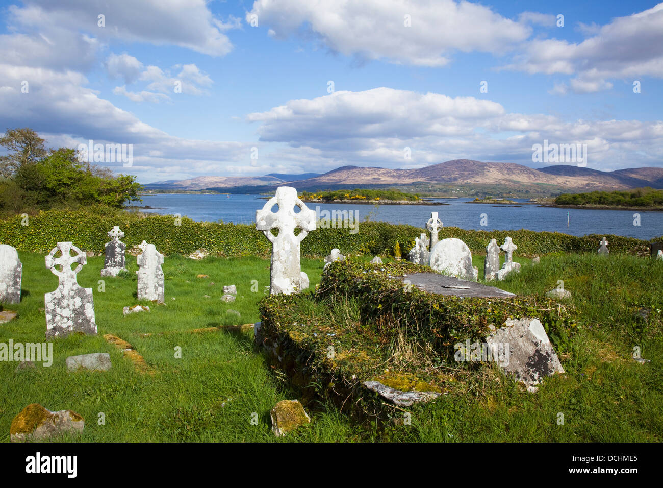
Mapped cemeteryCemetery · 321 yd

Explorer Tom Mapped cemetery in County Kerry supposedly had a smuggling ring operating from the back corner, moving crates of what…

Oratory (in ruins)Church · 365 yd

Explorer Tom The Oratory in Cill Maoilchéadair is drafting a formal complaint to the council about all this damp getting into its…

Standing stone in Cathair Deargáin ThuaidhStanding stone · 824 yd

Explorer Tom Standing stone in Cathair Deargáin Thuaidh hates visitors who look too serious about those little notches near the top.…

Cathair Deargan Stone FortArchaeological place · 828 yd

Explorer Tom Cathair Deargan Stone Fort thinks the road leading to it is too fancy for its taste, so it sits there looking…

Murreagh Church (Kilmalkedar)Church/chapel · 1109 yd

Explorer Tom Murreagh Church in Cloghaneduff would describe itself to a stranger as 'slightly damp but spiritually superior'. It was…

Graveyard in Cill ChúileGraveyard · 1581 yd

Explorer Tom Graveyard in Cill Chúile would make Saint Patrick roll his eyes from the grave, probably. The stones have been removed…
Gallarus OratoryHeritage attraction · 1.1 mi

Explorer Tom Gallarus can shrug off Kerry rain better than my old coat. Gallarus Oratory has the shape of an overturned stone boat…

Gallarus CastleCastle · 1.1 mi

Explorer Tom Gallarus Castle rises above Baile na nGall on the Dingle Peninsula, a four-storey tower that seems to have borrowed the…

Gallarus Castle (in ruins)Castle, tower house · 1.1 mi

Explorer Tom Gallarus Castle sits by Smerwick Harbour, acting like it’s the main event when it’s just a tower. I heard a fox took…
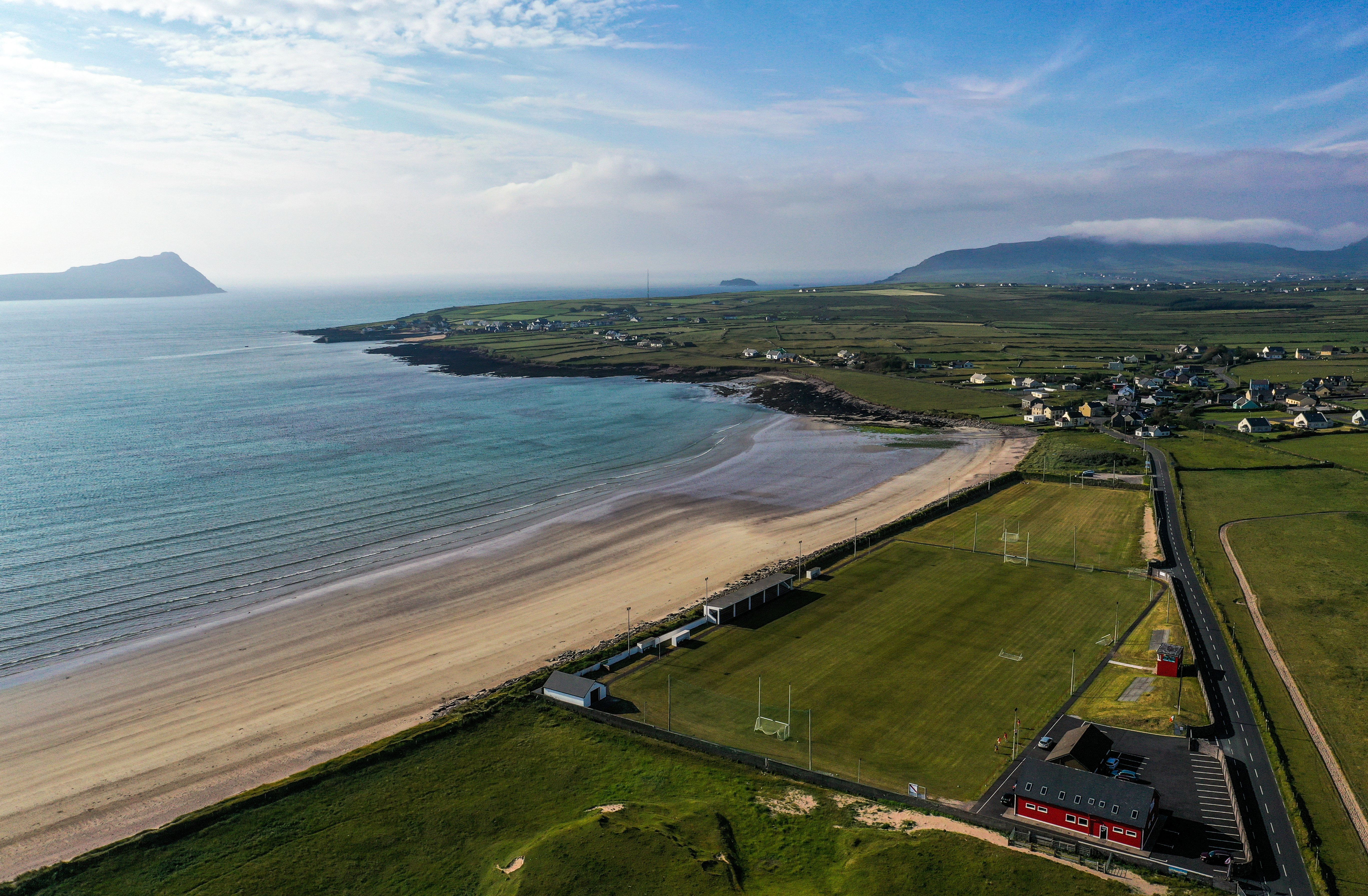
Gallarus, An GhaeltachtGAA ground · 1.2 mi

More historic places in County Kerry · All of County Kerry

Add to this placeAdd a picture Add a detailed tip Add a story

Explore the map1,095,414 places to discover

Next place · or swipeOgham stone in Cill Maoilchéadair