What is recorded here
Thirty metres west of the Reenconnell ringfort, a thin stone rises 1.53m, its edges barely thicker than a man’s thigh. Near the top, two small notches cut across opposite sides, making the stone resemble a crude cross rather than a ordinary marker. It stands beside the Saint's Road, waiting for someone to decide whether it guided worship, marked a boundary or simply survived the forgetting.
On the lower slopes of Reenconnell, about 30m W of an impressive ringfort (KE042-069----) and 150m W of the 'Saint's Road' (KE034-112001-), is a stone standing 1.53m high and measuring c. 0.52m in width and only .11 to .17m in thickness, its long axis orientated 10 degrees E of N. An unusual feature is the provision, c. 0.3m below the top on each side, of a notch, 7 to 9 cms long and c. 5 cms deep. These give the impression of a rudimentary cross and it is with reservation that this is included as a standing stone.
The above description is derived from J. Cuppage, ‘Corca Dhuibhne. Dingle Peninsula archaeological survey. Ballyferriter. Oidhreacht Chorca Dhuibhne’ (1986), no. 88. In certain instances the entries have been revised and updated in the light of recent research.
Date of upload: 3 August 2013
Probably dating to the early medieval period, this standing stone may be associated with the nearby ringfort and 'Saint's Road,' suggesting a possible ritual, territorial, or waymark function. Its small size and isolated position could reflect a local tradition of boundary markers or commemorative stones.
The monument record does not grant public access. Check the route and ask the landowner before entering private land.
- What survives
- Recorded monument
Places near here
 Cathair Deargan Stone FortArchaeological place · 48 yd
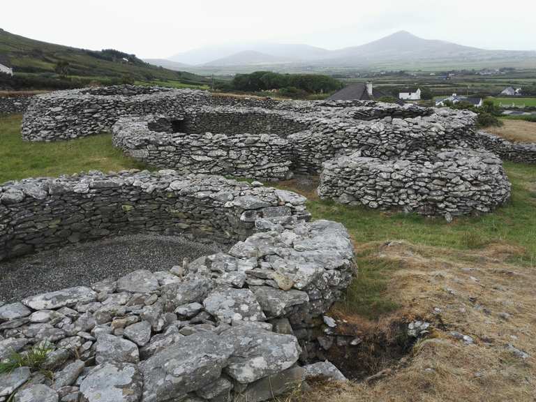 Man-made underground passage in Cathair Deargáin ThuaidhMan-made underground passage · 54 yd
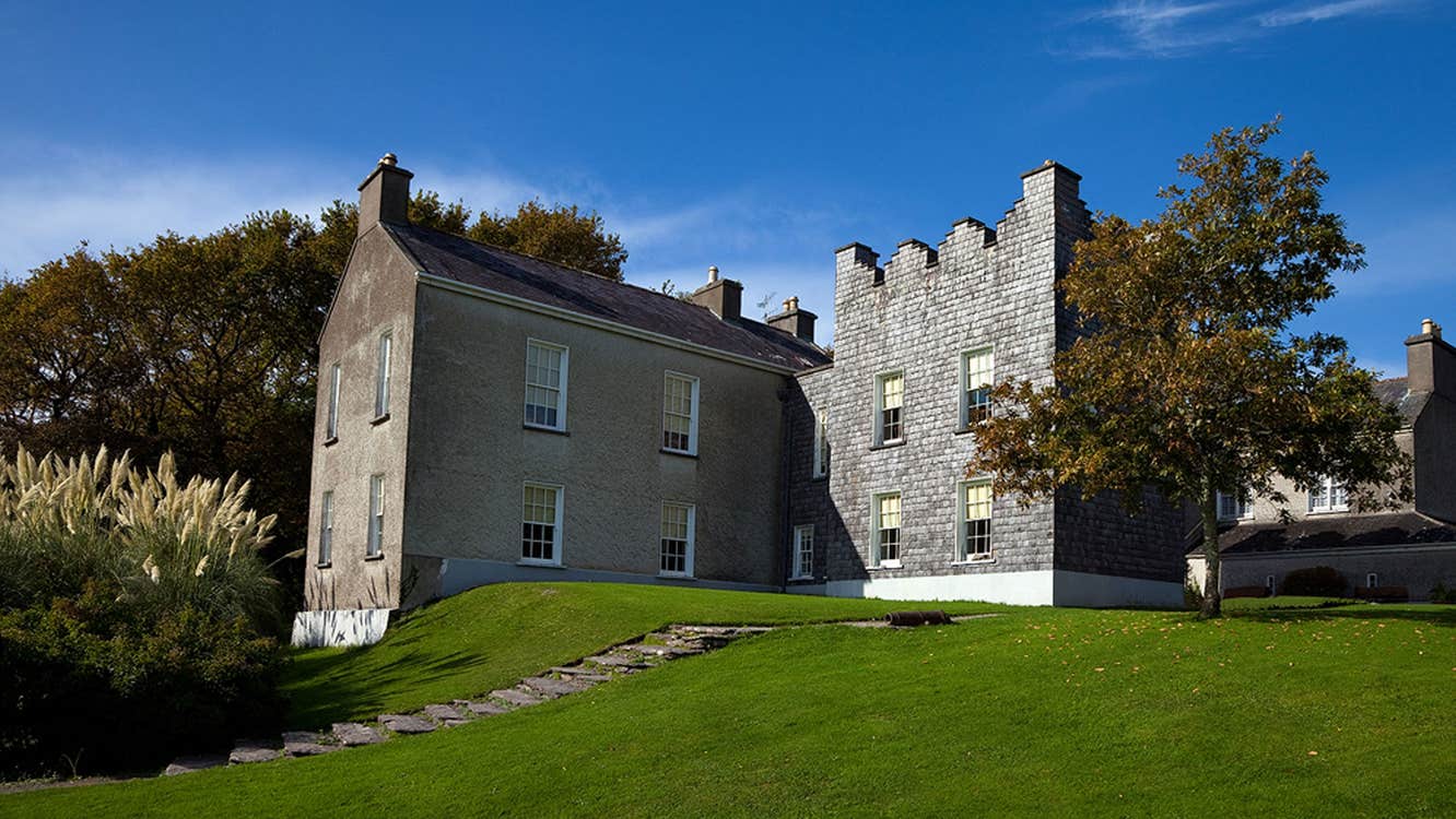 Chancellors House (in ruins)Building · 324 yd
 Kilmalkedar Church in ruinsChurch · 714 yd
 Gallarus OratoryHeritage attraction · 1064 yd
 Gallarus CastleCastle · 1250 yd
 Gallarus Castle (in ruins)Castle, tower house · 1251 yd
 Binn BreacMountain / peak · 1.3 mi
 Trá an FhíonaBeach / strand · 1.9 mi
 Riasc Monastic SettlementHeritage attraction · 2.2 mi
 Cuan Ard na CaithneBay · 2.2 mi
 An Chathair AirdMountain / peak · 2.7 mi