What is recorded here
No surface remains visible of circular enclosure that is depicted on the first edition of the OS 6-inch map.
From the National Monuments Service (Archaeological Survey of Ireland) record OF016-040
The monument record does not grant public access. Check the route and ask the landowner before entering private land.
- What survives
- Recorded monument
Places near here
 European Yew187 yd
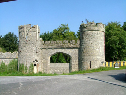 Charleville CastleGate lodge · 236 yd
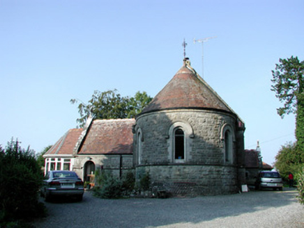 Saint Bartholomew's Church (Lynally)Church/chapel · 246 yd
 Pedunculate Oak330 yd
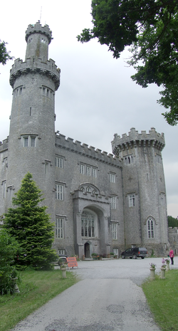 Charleville CastleCastle · 677 ydChrist's WellSpring · 1301 ydMound in Lynally GlebeMound · 1565 ydSugar HillMountain / peak · 1681 ydArdnagross WellSpring · 1.2 miSt O'Hara's HillMountain / peak · 1.2 mi
 Graveyard1.5 mi
 Ballycowan CastleCastle · 1.6 mi
Pictures: Sitomon, Wikimedia Commons · CC BY-SA 2.0; National Inventory of Architectural Heritage; Algirdas at Lithuanian Wikipedia, Wikimedia Commons · Public domain; User:Jgillett, Wikimedia Commons · Public domain; Kieran Campbell, Geograph · Creative Commons Attribution-ShareAlike 2.0; Kieran Campbell, Wikimedia Commons · CC BY-SA 2.0
More archaeology and monuments in County Offaly · All of County Offaly
What do you know about this place?