What is recorded here
On gradual S-facing slope in undulating terrain, under grass. No visible trace of enclosure above ground. Monument depicted as roughly circular area on 2nd (1901-05) ed. OS 6-inch map with field boundary running E-W immediately S of S quadrant with deep ditch on N side of bank. Field boundary which ran E-W up to W quadrant and field boundary to E of enclosure have been removed. Ground is quite wet, springs on hill would have run down to this field. Enclosure was cleared approx. twelve years ago according to landowner. It was an area defined by a very low bank or scarp and overgrown with scrub. The field has been reclaimed and was formerly under tillage.
Compiled by: Jean Farrelly
Date of upload: 26 August 2011
This remains an important historical record, but the official description says the monument is no longer visible or has been destroyed. The monument record does not grant public access. Check the route and ask the landowner before entering private land.
- What survives
- No visible remains or recorded as destroyed
Places near here
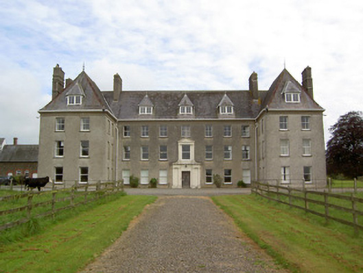 Barne Parkcountry house · 813 yd
 Church in NewchapelChurch · 1385 yd
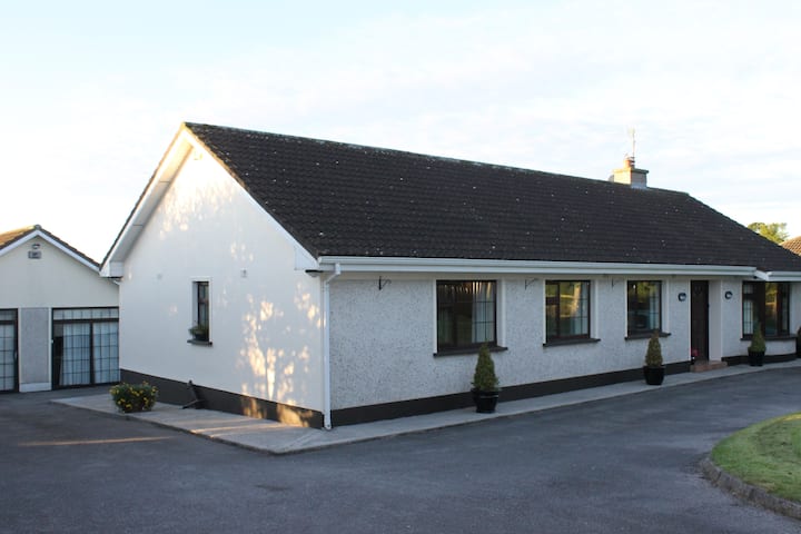 Enclosure in Kilmolash UpperEnclosure · 1448 yd
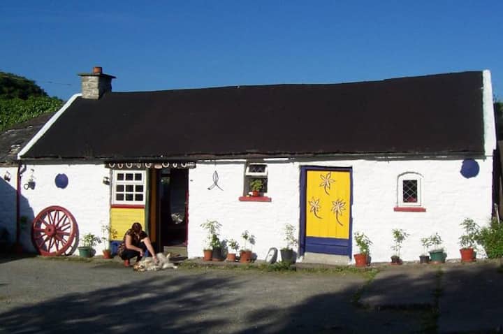 IndicatedEnclosure · 1590 yd
 Bawn in MullaghnoneyBawn · 1.2 mi
 CastleCastle, ringwork · 1.9 mi
 Pedunculate OakPedunculate Oak · 2.3 mi
 DeerparkWood · 2.7 mi
 Grubb's IslandIslet · 3.5 mi
 Merchant's HouseVisitor information · 3.5 mi
 Streches IslandIsland · 3.5 mi
 Francis HopkinsMemorial · 3.6 mi