
What is recorded here
Internal diam. 19.7m N-S, 18.8m E-W This circular caher is located on the edge of a natural terrace on a high S facing slope which overlooks Lough Currane. The area outside the enclosing wall at W is scarped and faced with rough drystone masonry. A spread of collapse covers this area, and is particularly dense close…
Read the whole record
From the National Monuments Service (Archaeological Survey of Ireland) record KE089-066
Places near here
Photo credits
- Maker not stated on source page, www.airbnb.co.in
- Maker not stated on source page, www.flickr.com
- Maker not stated on source page, commons.wikimedia.org
- Maker not stated on source page, www.letsgoireland.com
- Maker not stated on source page, ie.pinterest.com
- Philip Pötsch, Philipweb, Wikimedia Commons · CC BY 4.0
- Oliver Dixon, Geograph · CC BY-SA 2.0
- Irina Guerin, Wikimedia Commons · CC BY-SA 4.0
- Humphrey Bolton, Geograph · CC BY-SA 2.0
- National Inventory of Architectural Heritage
- Maker not stated on source page, www.arrivalguides.com
- Maker not stated on source page, www.alamy.com
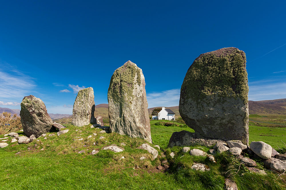 Standing stone in Cathair SamháinStanding stone · 1164 yd
Explorer Tom Standing stone in Cathair Samháin has been hiding a scandal for centuries, probably about who moved it. It’s low…
 Fairy fort / earthen ringfort in LislonaneFairy fort / earthen ringfort · 1.4 mi
Explorer Tom Lislonane sits right on the river’s edge, where a poet once fell in the ditch and missed his verse deadline. The bank…
 Stone circleStone circle, multiple-stone · 1.6 mi
Explorer Tom Stone circle in An Dromaid has five stones pretending to be a full committee meeting. If it had to teach history, it…
 Standing stone in An DromaidStanding stone · 1.6 mi
Explorer Tom Standing stone in An Dromaid is a rock built into a wall because it wanted to be part of the team. It’s proud that it’s…
 Stone row in DromkeareStone row · 1.7 mi
Explorer Tom Stone row in Dromkeare is stuck in a feud between two families over who owns the best view of the lake. Four stones…
 An Dún MórHeadland · 25 mi
Explorer Tom An Dún Mór is the headland where a matchmaker once worked and successfully paired off two clouds that are still…
 Dunmore HeadViewpoint · 25 mi
Explorer Tom Dunmore Head in County Kerry would tell a job interview it has excellent exposure to the Atlantic and zero patience for…
 Dunquin Church (in ruins)Church · 25 mi
Explorer Tom Dunquin Church was once the subject of a bad poem that rhymed 'ruins' with 'funny', which it has never forgiven for.…
 Ionad an Bhlascaoid MhóirMuseum · 25 mi
Explorer Tom At Ionad an Bhlascaoid Mhóir in Dún Chaoin, the Blasket Islands sit across the water looking close enough to borrow a…
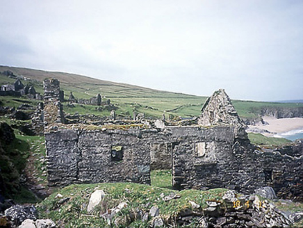 school25 mi
Explorer Tom School in Great-Blasket Island would handle a nosey neighbour by simply letting the wind do all the talking. It’s now a…
 CastleCastle, unclassified · 25 mi
Explorer Tom Castle in An Blascaod Mór is acting like the weird uncle at a wedding who refuses to sit down or eat any food. It’s…
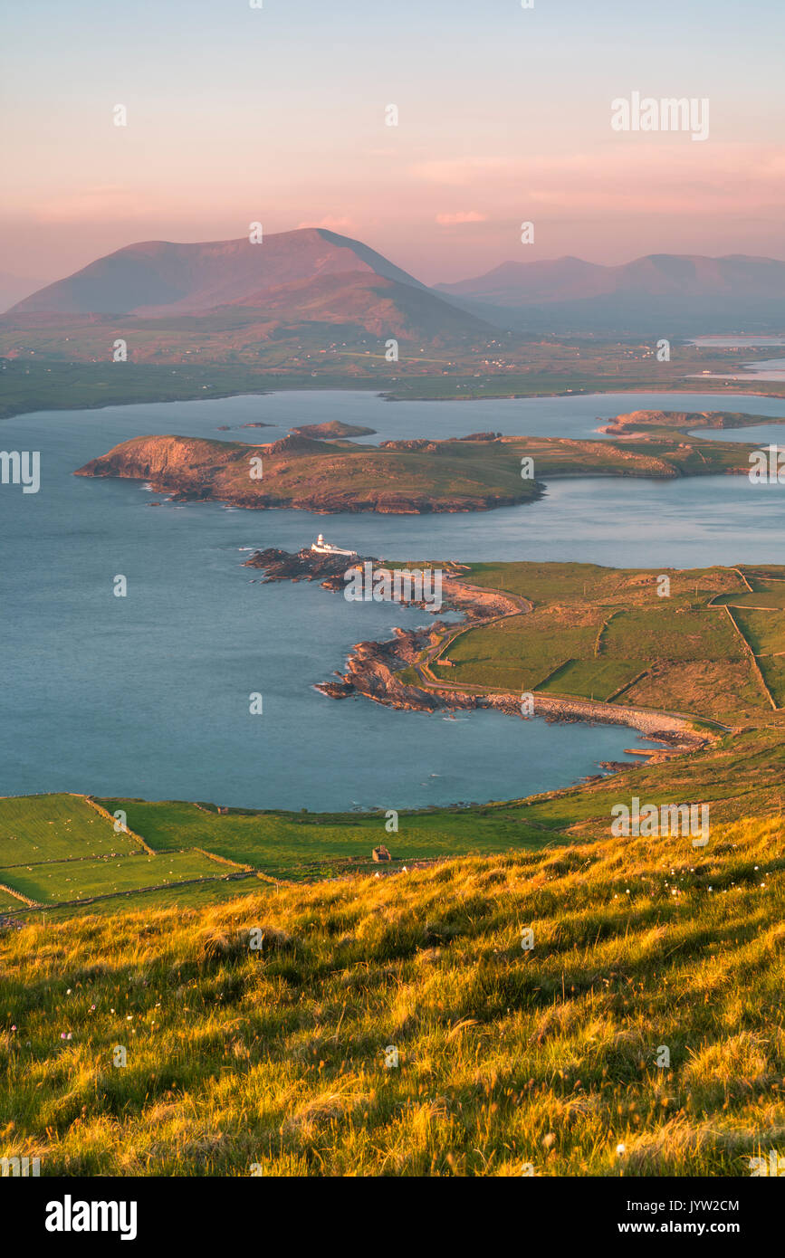 An t-Oileán BhuíIslet · 26 mi
Explorer Tom An t-Oileán Bhuí is being gossiped about by the seagulls, who claim it’s actually a giant yellow egg that’s just…
More archaeology and monuments in County Kerry · All of County Kerry

What do you know about this place?Tap to add a comment or ask a question