DDiscover AloneMapAbout

Fairy fort or stone ringfort in Castleroyan

Fairy fort / stone ringfort
Computer-made picture that does not show Fairy fort or stone ringfort in CastleroyanNot a photo of this monument
Computer-made picture. It does not show this monument. · Report the wrong picture

What is recorded here

In pasture, prominently sited on an elevation, with a steep slope SE–SW, on an E–W ridge bordering the N side of the Trimoge river, which lies 100m to S. The location commands excellent views along the river valley, and S over an undulating expanse of grassland. A derelict 18th-/19th- century farmstead is located that…

Read the whole record
In pasture, prominently sited on an elevation, with a steep slope SE–SW, on an E–W ridge bordering the N side of the Trimoge river, which lies 100m to S. The location commands excellent views along the river valley, and S over an undulating expanse of grassland. A derelict 18th-/19th- century farmstead is located that lies 20m to NW–N, associated with small rectangular fields arranged in ‘stripes’. Slightly raised, oval area (28.3m N–S; 37m E–W) defined by a stone-faced scarp (H 1.2m at SE, 1.45m at WSW) topped with a low stony lip (Wth 3m), overlain NE–SSW by a later property wall. The cashel is incorporated into a later system of drystone field walls, which both encircle and radiate from the cashel, and it is difficult to determine to what extent the surviving stone facing and wall footings, which are in general ruinous, represent original enclosing features or relate to this later phase of modification. Stone facing in rough courses of large stones is visible at SE and W, but elsewhere the scarp is largely sod-covered or consists of a slumped jumble of stones. At N, the remains of a semi-circular feature, possibly a limekiln, is built into the external slope of the scarp. Remnants of an outer enclosing scarp or wall, with an intervening gap or fosse of varying width (Wth c. 3-4m) can be traced at NE–W, also greatly modified by, later field walls. Again it is unclear to what extent these are original features. The interior is level, but has an uneven surface. In the SE quadrant, there is an opening at ground surface into a Man-made underground passage passage (MA072-081001-). In the W half of the interior, there is a shallow, oval depression (5.8m E–W; 4.4m N–S; D 0.3m) defined by a stony rim, with a low linear stony rise (Wth 1m; H 0.15m) extending for 5m to E from it; it is possible that these features may also relate to the Man-made underground passage.

From the National Monuments Service (Archaeological Survey of Ireland) record MA072-081

The monument record does not grant public access. Check the route and ask the landowner before entering private land.

What do you know about this place?Tap to add a comment or ask a question

What you write will be public.

Places near here

Photo credits
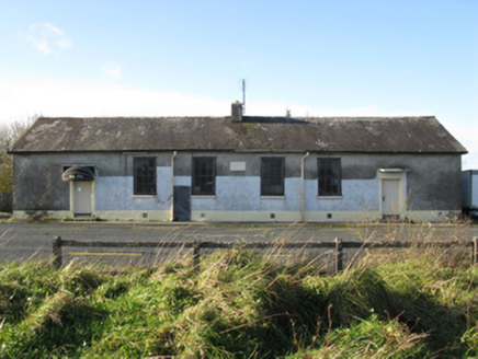
  • National Inventory of Architectural Heritage
  • The Carlisle Kid, Wikimedia Commons · CC BY-SA 2.0
  • Kiltimagh GAA Club; individual photographer not named, kiltimaghgaaclub.com
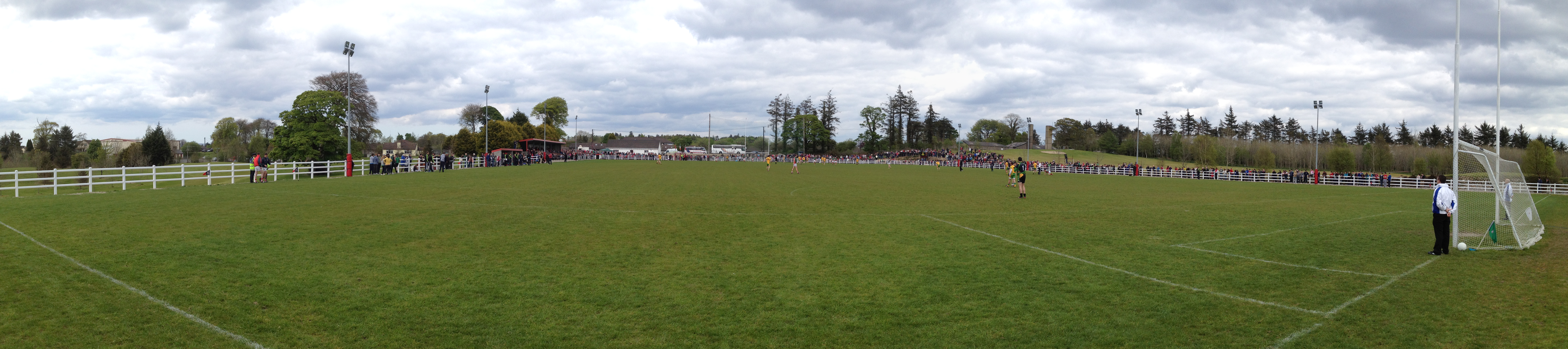
  • Swinford GAA; the page thanks Michael Maye, Rita Campbell and Fiona McDonagh, without assigning the panoramic image to one maker, swinfordgaa.ie
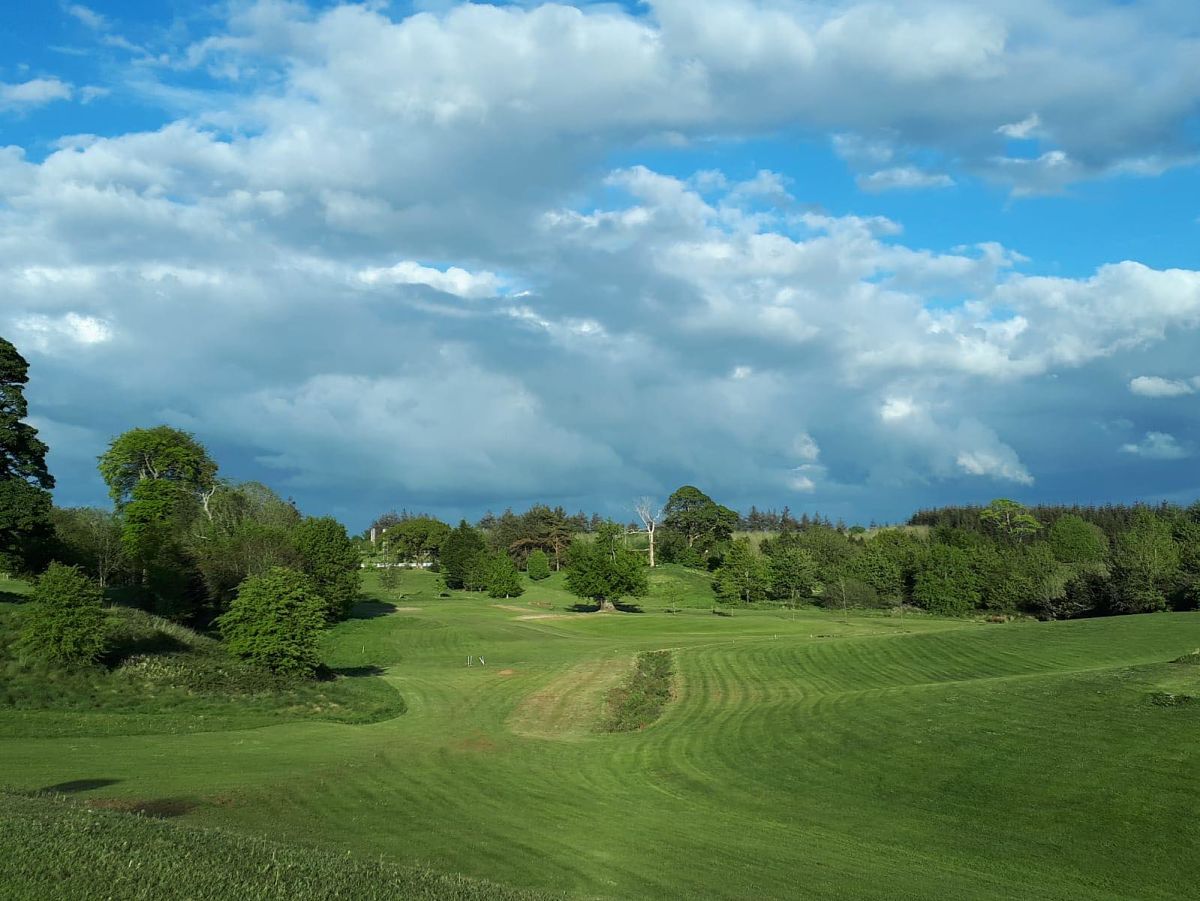
  • Golfing in Ireland; photographer not stated, Source publisher
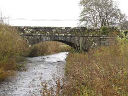
bridge1.5 mi

Explorer Tom Bridge in Attavally was built for the drainage works under the 1863 Act. It has rock-faced surfaces with 'sparrow…

Glore BridgeBridge · 1.7 mi

Explorer Tom Glore Bridge is reviewing its visitors right now. It’s giving two stars for 'lack of imagination' and three for…

Canbrack National SchoolSchool · 1.8 mi

Explorer Tom Canbrack National School has strict rules for visitors: no talking, no eating, absolutely no ghosts. It’s been…
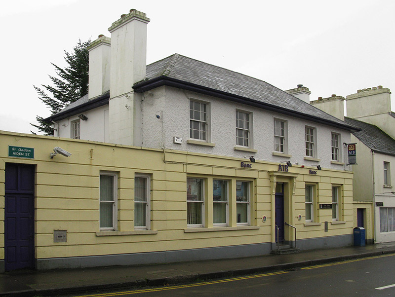
Allied Irish BankBank/financial institution · 2.7 mi

Explorer Tom Allied Irish Bank in Kiltamagh is dressed up like a Georgian gentleman but it’s basically just holding money for people…

Kiltimagh Railway StationStore/warehouse · 2.7 mi

Explorer Tom Kiltimagh Railway Station has a goods shed that once had a fox take full charge of the operations, and honestly, it ran…
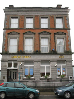
Bank of IrelandBank/financial institution · 2.8 mi

Explorer Tom Bank of Ireland in Kiltamagh would get ‘Here Lies Money’ on its tombstone because it’s seen too many bad investments…

Gilmartin Park, Kiltimagh GAAGAA ground · 3.2 miRobert McCallion Memorial Park, Swinford GAAGAA ground · 4.0 miSwinford Golf ClubGolf course · 4.1 miDoogary National SchoolSchool · 4.3 mi

Explorer Tom Doogary National School in Doogary [Cost. By.], County Mayo hosted a dance where everyone forgot how to stop moving.…
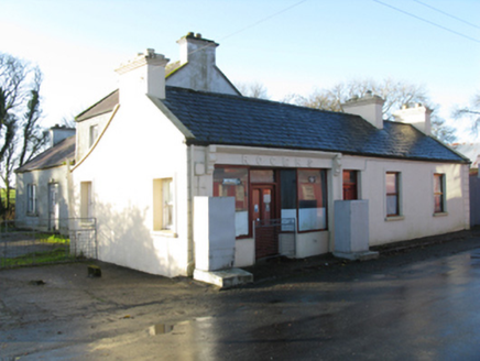
RogersHouse · 5.9 mi

Explorer Tom Rogers in Killeen looks like it’s about to fold over from sheer boredom, but the thatch keeps it together. It’s not as…
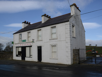
T.j. RogersHouse · 5.9 mi

Explorer Tom T.J. Rogers in Aghamore is named after a bloke who died in 1956, which feels very final for such a cute little stucco…

More archaeology and monuments in County Mayo · All of County Mayo

Add to this placeAdd a picture Add a detailed tip Add a story

Explore the map1,095,414 places to discover

Next place · or swipebridge