What is recorded here
At the NE end of a short NE-SW ridge (on the 100’ contour) in pasture, c. 220m W of a small SW-flowing stream. Hachured on both the first (1840) and Cassini (1916) editions of the OS 6-inch map. Classified as an enclosure in the RMP (1996). A subcircular earthen platform (19.95m N-S; 14m E-W) defined by a steep scarp (H 1.4-2.1m) surrounded by a berm (Wth 5m), with a second, outer scarp (H 2m) from W-N-E. The interior is covered in vegetation with mature trees around the perimeter.
Compiled by: Gearóid Conroy and Eve Campbell
Date of upload: 8-10-2025
Neolithic passage tomb; dates to the early to middle Neolithic period (c. 3700–3000 BCE). Its classification as an enclosure suggests it may be part of a larger ritual or settlement complex, indicating significant ceremonial or communal use in prehistoric Ireland.
The monument record does not grant public access. Check the route and ask the landowner before entering private land.
- What survives
- Recorded monument
Places near here
 LissydeelaFairy fort / earthen ringfort · 619 yd
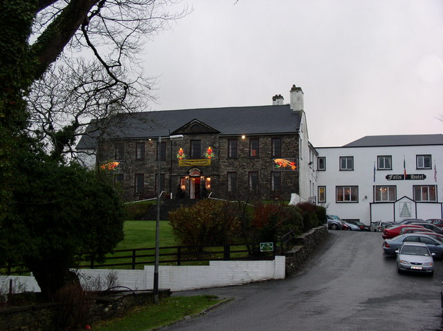 Ennistimon Househouse · 681 yd
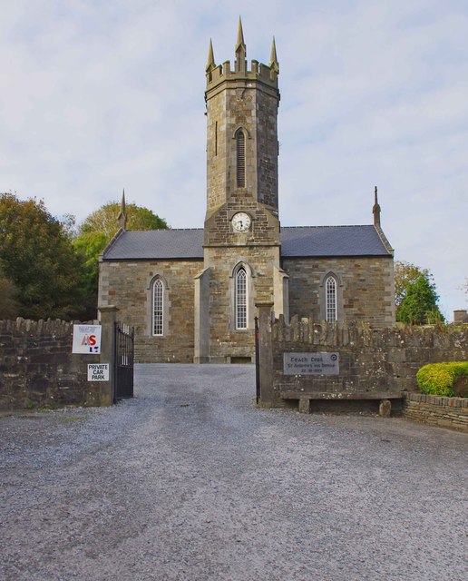 An Teach Ceoilchurch/chapel · 802 yd
 Kilmanahn GraveyardRuins · 1020 yd
 Famine MemorialMemorial · 1121 yd
 IndicatedFairy fort / earthen ringfort · 1319 yd
 Glen Castle (in Ruins)Castle, tower house · 1.2 mi
 Dough CastleRuins · 1.9 mi
 Lahinch BeachBeach / strand · 2.3 mi
 TullygarvanWood · 2.8 mi
 John P. Holland CentreMuseum · 3.8 mi
 Burren Centre KilfenoraVisitor information · 4.7 mi