What is recorded here
Located c. 120m W of the River Suir, in pasture. A circular enclosure (diam. c. 14m) defined by a fosse, visible on satellite imagery (© Google Earth, imagery date 20 January 2020), identified and reported by Jean-Charles Caillère. The enclosure is indicated on the 1st (1840) ed. OS 6-inch map as a tree-ring within…
Read the whole record
Located c. 120m W of the River Suir, in pasture. A circular enclosure (diam. c. 14m) defined by a fosse, visible on satellite imagery (© Google Earth, imagery date 20 January 2020), identified and reported by Jean-Charles Caillère. The enclosure is indicated on the 1st (1840) ed. OS 6-inch map as a tree-ring within the demesne of Castlepark House (later Mantlehill House) which was located c. 90m to the W. This feature may have been an enclosure which was subsequently utilised as a tree-ring or it could have been created as a tree-ring within Castlepark House demesne. See attached:
TS060-151----_01 Google Earth image (imagery date 20 January 2020)
TS060-151----_02 extract from 1st (1840) ed. OS 6-inch map
Compiled by: Jean Farrelly
Date of upload: 11 January 2022
From the National Monuments Service (Archaeological Survey of Ireland) record TS060-151
Places near here
Photo credits
- National Inventory of Architectural Heritage
- P L Chadwick, Wikimedia Commons · CC BY-SA 2.0
- Jschroeder85, Wikimedia Commons · CC BY-SA 3.0
- Garry Dickinson, Geograph · CC BY-SA 2.0
- Jonathan Thacker, Geograph · CC BY-SA 2.0
- Willow, Wikimedia Commons · CC BY 2.5
- Deemaykay, Wikimedia Commons · CC BY-SA 4.0
- Graham Horn, Wikimedia Commons · CC BY-SA 2.0
- Colin Park, Geograph · CC BY-SA 2.0
- N Chadwick, Geograph · CC BY-SA 2.0
- kevin higgins, Geograph · CC BY-SA 2.0
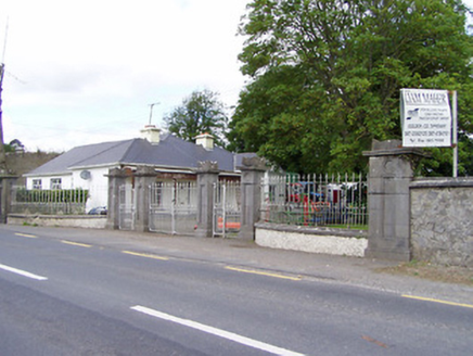 Mantlehill HouseGates/railings/walls · 296 yd
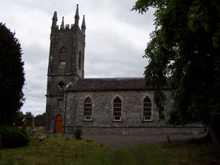 Golden Church (Relickmurry and Athassel)Church/chapel · 319 yd
 Castle in ruinsCastle, tower house · 397 yd
 Athassel PrioryHeritage attraction · 1.4 mi
 Thomastown Castle GateRuins · 1.9 mi
 Hore AbbeyHeritage attraction · 4.0 mi
 European ash4.9 mi
 CrossCross, High cross · 7.2 mi
 The Maid of ErinMemorial · 7.6 mi
 The RockViewpoint · 8.3 mi
 Christ the KingViewpoint · 9.0 mi
 FarbreagaMountain / peak · 9.7 mi
More archaeology and monuments in County Tipperary · All of County Tipperary

What do you know about this place?Tap to add a comment or ask a question