What is recorded here
Hachured as circular enclosure on OS 6-inch map (1842) (diam. c. 25m). Levelled bank visible as patches of lighter coloured grass.
From the National Monuments Service (Archaeological Survey of Ireland) record CO151-034
The monument record does not grant public access. Check the route and ask the landowner before entering private land.
- What survives
- Recorded monument
Places near here
Photo credits
- Gordon Hatton, Geograph · CC BY-SA 2.0
- National Inventory of Architectural Heritage
- onview, Wikimedia Commons · CC BY-SA 3.0
- Superbass, Wikimedia Commons · CC BY-SA 4.0
- Kondephy, Wikimedia Commons · CC BY-SA 4.0
- Christian Pirkl, Wikimedia Commons · CC BY-SA 3.0 at
- Mike Searle, Wikimedia Commons · CC BY-SA 2.0
- Garry Dickinson, Wikimedia Commons · CC BY-SA 2.0
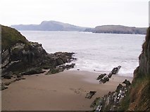 Sandy CoveBeach / strand · 381 ydPlacenames & Their Amazing StoriesHeritage attraction · 544 ydFaill ÁrdCliff · 607 yd
 gate lodge706 yd
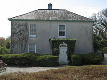 Castlehaven HouseRectory/glebe/vicarage/curate's house · 773 yd
 Castlehaven StrandBeach / strand · 994 yd
 Battle of CastlehavenNaval battle · 1583 yd
 IndicatedFairy fort / stone ringfort · 1.0 mi
 Cnoc DromaArchaeological place · 1.0 mi
 Sycamore1.5 mi
 Castle TownshendCastle · 1.6 mi
_-_geograph.org.uk_-_6532839.jpg/250px-Castles_of_Munster,_Raheen,_Cork_(2)_-_geograph.org.uk_-_6532839.jpg "Photo: Garry Dickinson, Wikimedia Commons · CC BY-SA 2.0") Raheen CastleCastle · 2.2 mi
Raheen CastleCastle · 2.2 miMore archaeology and monuments in County Cork · All of County Cork
What do you know about this place?