What is recorded here
In pasture, on E-facing slope. Marked as circular field on OS 6-inch map (1842) (diam. c. 40m); slight hollow survives, most noticeable to N and NW where low rise marks line of levelled bank.
From the National Monuments Service (Archaeological Survey of Ireland) record CO122-067
The monument record does not grant public access. Check the route and ask the landowner before entering private land.
- What survives
- Recorded monument
Places near here
Photo credits
- National Inventory of Architectural Heritage
- Ceoil at English Wikipedia, Wikimedia Commons · CC BY-SA 3.0
- Mike Searle, Wikimedia Commons · CC BY-SA 2.0
- Marathon, Wikimedia Commons · CC BY-SA 2.0
- Hywel Williams, Wikimedia Commons · CC BY-SA 2.0
- dougf, Geograph · CC BY-SA 2.0
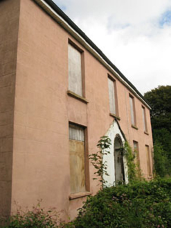 BeechgroveHouse · 2.1 mi
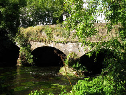 Gearagh BridgeBridge · 2.1 mi
 Templebryan Stone CircleArchaeological place · 2.2 mi
 Stone CircleStone circle, multiple-stone · 2.2 mi
 Noel PhairHouse · 2.3 miCloch na gCoillteMemorial · 2.5 mi
 Michael Collins House MuseumMuseum · 2.5 miBattle of the Big Cross (1798) Memorial MonumentMonument · 2.6 mi
 Michael Collins BirthplaceHistoric birthplace · 2.9 mi
 Michael Collins MemorialMemorial · 2.9 mi
_-_geograph.org.uk_-_3036684.jpg/250px-Castles_of_Munster,_Ballinvard,_Cork_(1)_-_geograph.org.uk_-_3036684.jpg "Photo: Mike Searle, Wikimedia Commons · CC BY-SA 2.0") Ballinvard CastleCastle · 3.2 mi
Ballinvard CastleCastle · 3.2 mi Ballynacarriga CastleCastle, tower house · 5.8 mi
More archaeology and monuments in County Cork · All of County Cork
What do you know about this place?