
What is recorded here
On gentle SE-facing slope. Rectangular structure marked on OS 6-inch map (1842). Rectangular terrace (28m SE-NW; 5m NW-SE) defined by scarp to SE and NE and cut into slope to NW. According to local information, site of church which was dismantled in early 20th century and the stones (CO110-046----) re-used in constructing of farmbuilding in Gaggan townland. Remains of enclosing wall (3m SE-NW;1.3m SW-NE) survives in field fence to SW. Field locally known as "the church field".
The above description is derived from the published 'Archaeological Inventory of County Cork. Volume 1: West Cork' (Dublin: Stationery Office, 1992). In certain instances the entries have been revised and updated in the light of recent research.
Date of upload/revision: 14 January 2009
The monument record does not grant public access. Check the route and ask the landowner before entering private land.
- What survives
- Recorded monument
Places near here
 Enclosure in Cashel MoreEnclosure · 280 yd
 Man-made underground passage in Farran (carbery East (e.d.) By.)Man-made underground passage · 1.1 mi
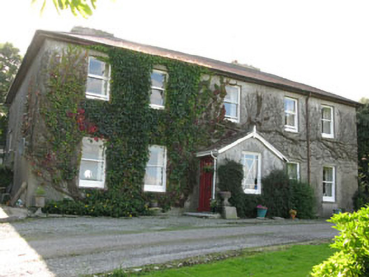 Hare Hillhouse · 1.3 mi
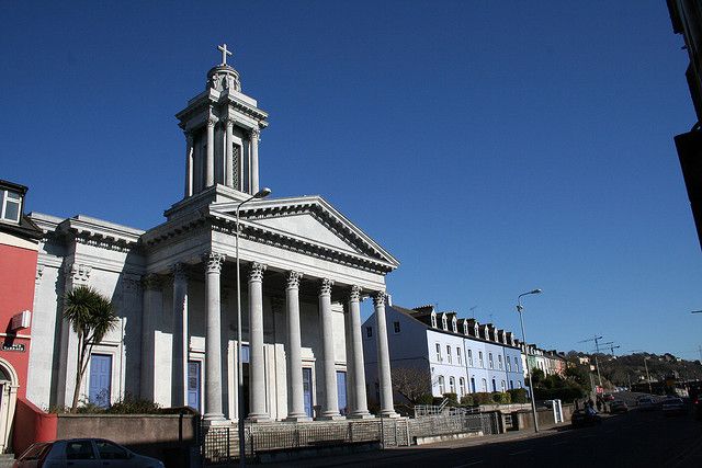 Catholic Church (in Ruins)Church · 1.4 mi
 Tobar MacloonaboySpring · 2.3 mi
 Monteen Castle (in Ruins)Castle, tower house · 2.3 mi
 English hollyEnglish holly · 2.5 mi
 Graveyard in KilmalodaGraveyard · 2.5 mi
 Cottage Road WoodWood · 2.8 mi
 Burrane Castle (Site of)Castle, unclassified · 3.2 mi
 Argideen Valley trailVisitor information · 3.4 mi
 Johnny Sheila MurphyMemorial · 3.4 mi
Other information
Photo: Credit not shown in the picture search · Rights wording not checked; contact us if this picture should be removed