What is recorded here
Indicated is a broken fairy fort on a Mayo hill, its eastern half stolen by a quarry pit while the western scarps still hold against the sky. Brambles and blackthorn strangle the remaining curve, hiding a place that once commanded broad views over bog and grassland. The loss is not quiet; it is a wound in the earth where human hands took what the fortress kept.
In pasture, in a thicket of overgrowth, located on top of a hill giving good views NW–NE over a broad expanse of grassland and bog. There is a N-flowing stream 90m to W. The ground falls steeply to S–SE into a natural depression of wet ground.
This rath is shown on the 1837 OS 6-inch map as an oval embanked enclosure, with a field boundary on a N-S crossing the E half of the interior, and a building/farmstead abutting the W side. On 1919 OS edition only the W half of the enclosure is depicted.
Only the W half of the rath remains. It consists of a semi-circular, raised area (c. 30m N–S; c. 15-20m E–W to quarry pit) defined SSW–N by an earthen scarp (Wth slope 2.3m; H 1m at NW). The E half of the enclosure has been quarried away, although it is possible that a portion of the enclosure may be incorporated into the remnants of a N–S field fence on the E edge of the quarried area. A farm track on a NW–SE axis, flanked by field fences, clips the W edge of the rath, and a field fence on a roughly E–W axis, clips the scarp at N.
It is densely covered in brambles and hawthorn and blackthorn bushes.
Compiled by: Jane O’Shaughnessy
Date of upload: 7 December 2020
The monument record does not grant public access. Check the route and ask the landowner before entering private land.
- What survives
- Recorded monument
Places near here
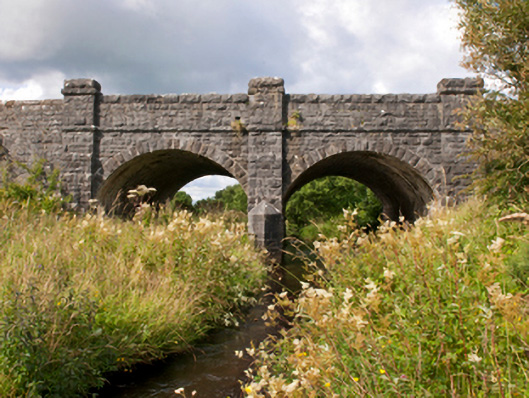 Sonnagh Bridgebridge · 1353 yd
 bridgebridge · 1621 yd
 IndicatedFairy fort / earthen ringfort · 1.3 mi
 Enclosure in Killeen (costello By., Kilbeagh Par.)Enclosure · 1.5 mi
 Procession Of The SoulsMemorial · 3.5 mi
 Brabazon WoodsForest · 3.6 mi
 Youth Memorial GardenMemorial · 3.9 mi
 HawthornHawthorn · 4.9 mi
 Castle (in Ruins)Castle, tower house · 6.2 mi
 Thorn CaveCave · 6.3 mi
 Old Cave Burial GroundArchaeological place · 7.4 mi
 Rath Castle in ruinsCastle, tower house · 8.0 mi