
What is recorded here
From the Buildings of Ireland (National Inventory of Architectural Heritage) record 31306204
Places near here
Photo credits
- National Inventory of Architectural Heritage
- Maker not stated on source page, commons.wikimedia.org
- Maker not stated on source page, id.pinterest.com
- Maker not stated on source page, en.wikipedia.org
- Charlestown GAA (@CharlestownGAA) via HoganStand; individual photographer not stated, hoganstand.com
- Golfing in Ireland; photographer not stated, Source publisher
- Swinford GAA; the page thanks Michael Maye, Rita Campbell and Fiona McDonagh, without assigning the panoramic image to one maker, swinfordgaa.ie
- Maker not stated on source page, megalithics.com
- Maker not stated on source page, www.pinterest.com
- Maker not stated on source page, www.thejournal.ie
- Maker not stated on source page, www.dreamstime.com
- Maker not stated on source page, www.irishamerica.com
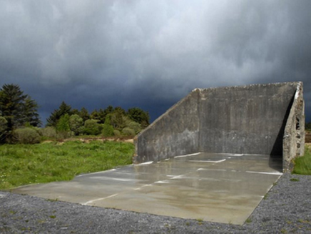 handball alley1.6 mi
Explorer Tom Handball alley in Cornageeha is stuck in a fairy dispute over parking rights for their tiny carriages. They say no…
 Wedge tomb in Cuillaun (gallen By.)Wedge tomb · 1.8 mi
Explorer Tom Wedge tomb in Cuillaun would say 'I have experience' in any job interview despite being destroyed. It used to be a…
 Megalithic tomb in Killeen (costello By., Kilbeagh Par.)Megalithic tomb · 2.0 mi
Explorer Tom Megalithic tomb in Killeen would tell its younger self to stop worrying about looking impressive and just enjoy being a…
 Fairy fort / stone ringfort in Cuillaun (gallen By.)Fairy fort / stone ringfort · 2.1 mi
Explorer Tom Fairy fort in Cuillaun sits in such boggy heather that the fairies must have worn wellies to build it, yet they left no…
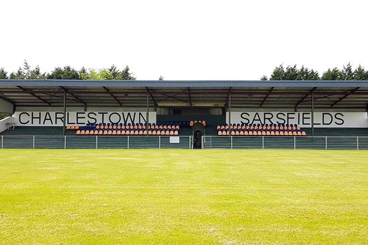 Fr. O'Hara Park, Charlestown SarsfieldsGAA ground · 3.0 mi
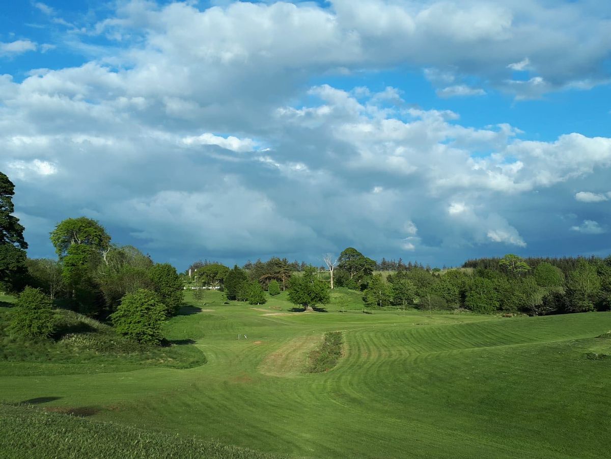 Swinford Golf ClubGolf course · 3.4 mi
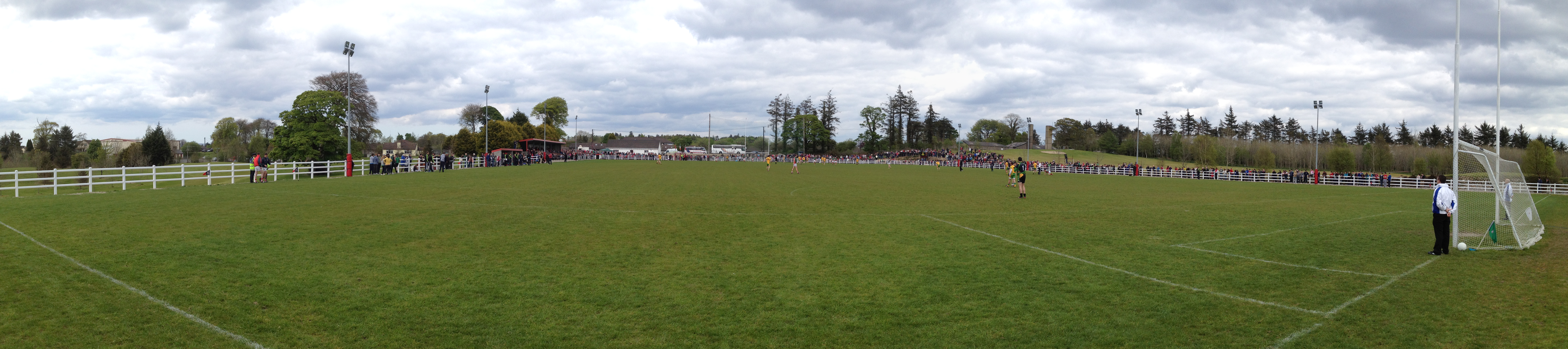 Robert McCallion Memorial Park, Swinford GAAGAA ground · 3.4 mi
 Wedge tomb in BarnalyraWedge tomb · 3.6 mi
Explorer Tom Wedge tomb in Barnalyra is playing hide-and-seek on that rise. Imagine explaining its stone gallery to a teen; they’d…
 Megalithic tomb in Kilgarriff WestMegalithic tomb · 4.3 mi
Explorer Tom Megalithic tomb in Kilgarriff West has vanished under the runway. A local crow still lands on it every day, refusing to…
 Curry GAAGAA ground · 4.9 mi
 Church (in Ruins)Church · 6.0 mi
Explorer Tom Church in Kinaff smells like old wet socks and forgotten promises, according to my very scientific nose. It sits in the…
 CastleCastle, unclassified · 23 mi
Explorer Tom Castle in Emlagh would tell its younger self to stop being so dramatic about crumbling. It’s just a pile of rocks…
More historic places in County Mayo · All of County Mayo

What do you know about this place?Tap to add a comment or ask a question