What is recorded here
Indicated is a fairy fort or earthen ringfort in Cartron (ballymoe By., Rosmoylan Ed), County Roscommon, Ireland. It appears on the 1837 and 1927 Ordnance Survey maps as an oval area measuring roughly 50m east-west and 30m north-south on a gentle NE-facing slope. The site is not visible at ground level in pasture, and Rath lies about 170m to the SSW.
Marked on the 1837 (GA007) and 1927 (RO038) eds of the OS 6-inch map as an oval area (dims c. 50m E-W; c. 30m N-S), and situated on a gentle NE-facing slope. It is not visible at ground level in pasture. Rath (RO038-018----) is c. 170m to the SSW.
Compiled by: Michael Moore
Date of upload: 24 August 2010
The monument record does not grant public access. Check the route and ask the landowner before entering private land.
- What survives
- Recorded monument
Places near here
 St. Michaels WellHoly well · 556 yd
 Enclosure in BallincurryEnclosure · 1.1 mi
 Quarry in BallincurryQuarry · 1.2 mi
 post boxpost box · 1.6 mi
_-_geograph.org.uk_-_1952978.jpg?width=1280) Bawn in Glinsk (ballymoe By.)Bawn · 2.0 mi
Bawn in Glinsk (ballymoe By.)Bawn · 2.0 mi Site of Killomaine Grave YardArchaeological place · 2.5 mi
 Mount MaryMountain / peak · 4.0 mi
 HawthornHawthorn · 4.1 mi
 European ashEuropean ash · 4.7 mi
 CastleCastle, unclassified · 4.9 mi
 Sally IslandIslet · 5.1 mi
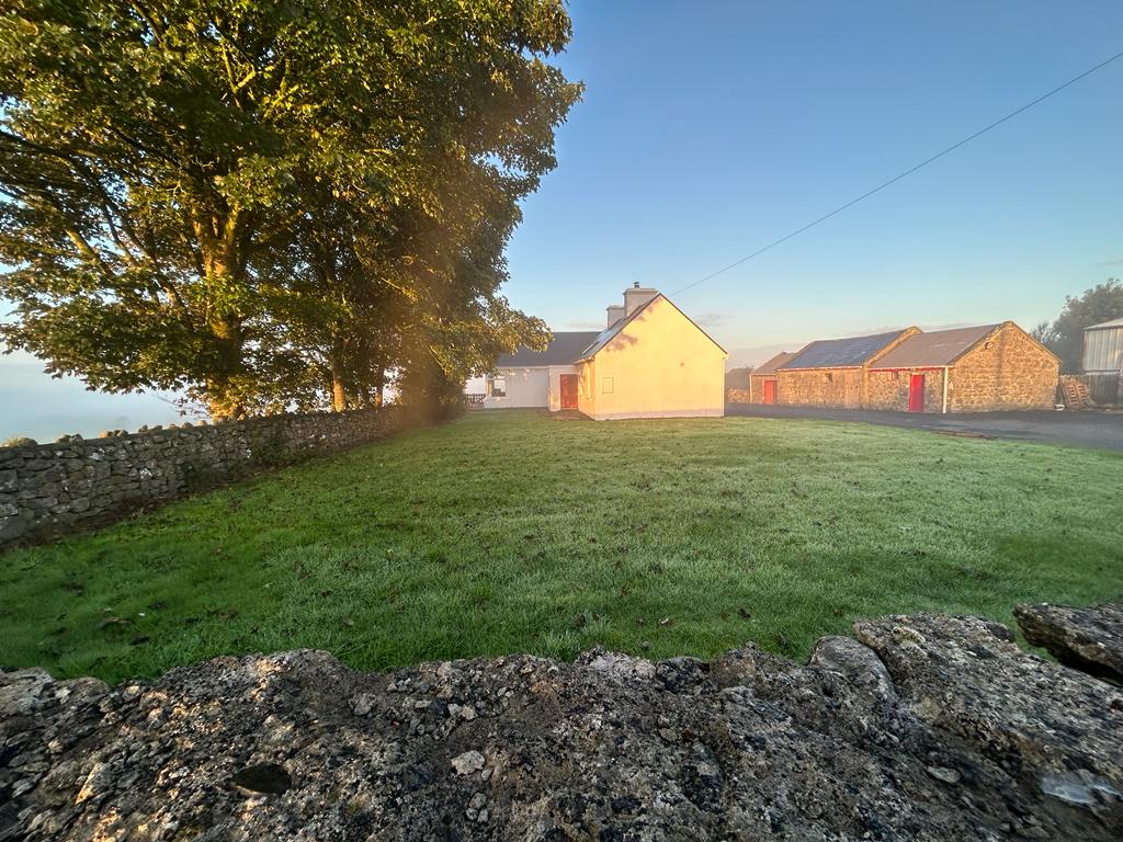 Hilltop enclosure in Clooncah (ballymoe By.)Hilltop enclosure · 1.4 mi