What is recorded here
In pasture, encompassing the highest point on a ridge-top plateau. When approached from S the elevated position is not appreciated, however at N−NE there is a steep fall of ground, which then levels out somewhat to a more gradual slope extending to the rocky coastline 800m away. The location provides extensive views along a strip of coastal pasture, the shoreline and out to sea. Knocknarae is visible to E and the Ox Mountains form the skyline to S.
Oval area (126.8m N–S; 111.2m E–W) defined by a broad, flat-based fosse (Wth 5m at top, 2.8m at base; int. D 1.75m, at S) with a substantial external bank (Wth 6.4-6.8m; int. H 2m; ext. H 1.35m, at S). Stone facing is evident on the inner face of the bank at N–NE and W-NW, but this may be relatively modern in date. The original entrance may be at the SE where there is a causeway (Wth 2m) across the fosse, with a corresponding gap in the external bank, now blocked by a low modern field bank. At the S, another section (Wth 4.6m) of the fosse has been partly infilled to form a shallow causeway, leading to two breaks (Wth 1m) in the external bank, separated by a remnant of a field bank that extends to S. The W half of the interior is relatively level, but the E half slopes down from W to E, reflecting the natural ridge slope. Located slightly off-centre to NE within the interior, straddling the slope described above, there is a smaller enclosure (SL012-008002-), now partly levelled. This second enclosure (diam. 61.6m N–S; 52m E–W) occupies much of the internal space in the centre of the larger hilltop enclosure, leaving a clear space of c. 25-30m between it and the enclosing fosse of the larger enclosure.
In the NW quadrant of the hilltop enclosure, there is a Napoleonic Era stone-built signal tower (SL012-008003-). A field fence, on a roughly E–W axis, cuts through the N half of the both the hilltop enclosure and the smaller enclosure.
Compiled by: Jane O'Shaughnessy
Date of upload: 1 April 2015
The monument record does not grant public access. Check the route and ask the landowner before entering private land.
- What survives
- Recorded monument
Places near here
 Enclosure in Carrownrush (tireragh By., Easky East Ed),carrowmablyEnclosure · 8 yd
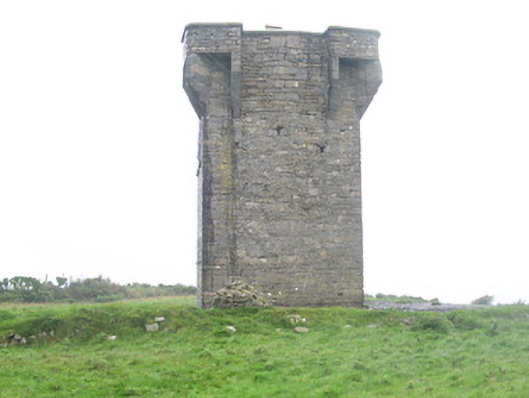 Carrownrush Towersignal tower · 40 yd
 Hut site in Aughris (tireragh By.)Hut site · 872 yd
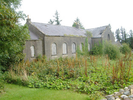 Dromore West Presbyterian Churchchurch/chapel · 1265 yd
 Site of Dunneill CastleCastle, unclassified · 1588 yd
 DonaghHeadland · 1.0 mi
 Ballynahowna CastleCastle, tower house · 1.9 mi
 Split RockNamed rock · 2.0 mi
 Jim Smith MemorialMemorial · 3.3 mi
 Wild Atlantic Way: Easky PierVisitor information · 3.7 mi
 Eamonn's TopMountain / peak · 6.5 mi
 Knockalongy South-West TopMountain / peak · 6.6 mi