
What is recorded here
From the National Monuments Service (Archaeological Survey of Ireland) record SL036-026
Places near here
Photo credits
- Maker not stated on source page, www.dreamstime.com
- Maker not stated on source page, www.tripadvisor.in
- Maker not stated on source page, www.flickr.com
- National Inventory of Architectural Heritage
- Maker not stated on source page, commons.wikimedia.org
- Maker not stated on source page, de.wikipedia.org
- Maker not stated on source page, www.rte.ie
- Alan Reid, Geograph · CC BY-SA 2.0
- Kmcnamee, Wikimedia Commons · CC BY-SA 4.0
- Maker not stated on source page, sociable.co
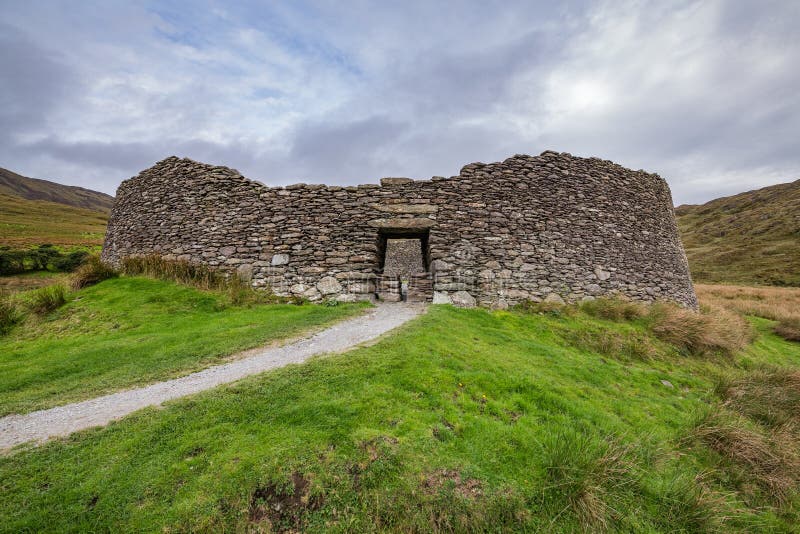 Fairy fort / stone ringfort in GlennawooFairy fort / stone ringfort · 1268 yd
Explorer Tom Glennawoo’s stone ringfort complains that the wind picks on it because it terraced itself too sloppily into the…
 Church in KillureChurch · 1639 yd
Explorer Tom Church in Killure has a ghost who is too lazy to haunt it properly because he keeps falling asleep on the sod-covered…
 Megalithic structure in GlennawooMegalithic structure · 1652 yd
Explorer Tom Megalithic structure in Glennawoo would spend its lotto win on a really nice hat to match its massive slab body. It’s…
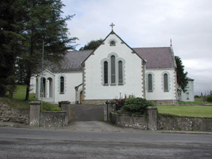 Catholic Church of Our Lady of the RosaryChurch/chapel · 1.1 mi
Explorer Tom Catholic Church of Our Lady of the Rosary in Kilmacteige has a bad poem written about it that rhymes 'rosary' with…
 Church in KilmacteigeChurch · 1.2 mi
Explorer Tom Church in Kilmacteige would post: 'Just survived another century of being mistaken for a college.' It’s basically…
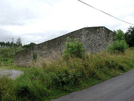 handball alley1.2 mi
Explorer Tom Handball alley in Kilmacteige would say in a job interview 'I have excellent reflexes but terrible social skills'…
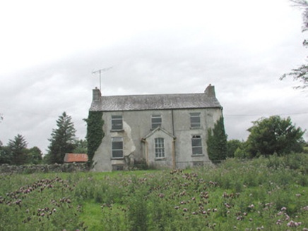 The GlebeRectory/glebe/vicarage/curate's house · 1.3 mi
Explorer Tom The Glebe in Kilmacteige has been hiding a scandal for centuries, probably involving a vicar who fell in love with the…
 Court tomb in Carrowreagh (leyny By.)Court tomb · 1.4 mi
Explorer Tom Court tomb in Carrowreagh actually means 'where the cows went to argue' if you ask me, but they put it on a bog-grown…
 Tourlestrane GAAGAA ground · 3.2 mi
 Largan HillMountain / peak · 3.7 mi
Explorer Tom Largan Hill in County Sligo is strictly run by a terrier who barks at any cloud that passes overhead. The forest below…
 Bonniconlon, Bonniconlon GAAGAA ground · 6.0 mi
 Bonniconlon CemeteryCemetery · 6.0 mi
Explorer Tom Bonniconlon Cemetery is in a screaming match with the nearest tree, accusing it of stealing all the sunlight and…
More archaeology and monuments in County Sligo · All of County Sligo

What do you know about this place?Tap to add a comment or ask a question