What is recorded here
In rough pasture, on E side of slight rise, with ridge to E. Circular-shaped, raised area (diam. 39m N-S), enclosed by low earthen bank (ext. H 1.4m). Site heavily overgrown.
The above description has been derived from D. Lavelle (compiler), An Archaeological Survey of Ballinrobe and District including Lough Mask and Lough Carra. Lough Mask and Lough Carra Tourist Development Association (1994), No. 128.
Date of upload: 24 January 2013
The monument record does not grant public access. Check the route and ask the landowner before entering private land.
- What survives
- Recorded monument
Places near here
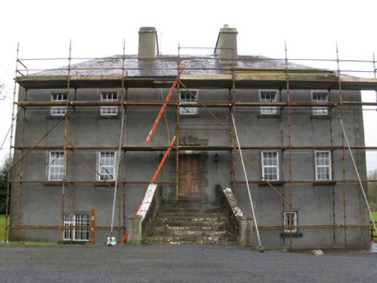 Carrownacon Housefarm house · 595 yd
 IndicatedEnclosure · 810 yd
 Enclosure in KnockacurreenEnclosure · 1001 yd
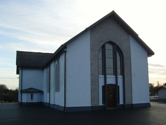 Saint Mary's Catholic Churchchurch/chapel · 1054 yd
 Cerberus, from Thomastown HouseMemorial · 1.3 mi
 Lady's IslandIslet · 1.6 mi
 Castleburke in ruinsCastle, tower house · 1.7 mi
 Redgate ParkWood · 1.7 mi
 European hornbeamEuropean hornbeam · 1.8 mi
 Moore Hall Forest TrailWalking route · 1.8 mi
 Deer IslandIslet · 1.8 mi
 Wall of CastleBawn · 1.8 mi