
What is recorded here
In pasture, crowning the summit of a hill, close to the break of slope on the N-NW side where there is a steep fall of ground. The location provides excellent views, with the Partry Mountains on the far horizon to W and the peak of Croagh Patrick visible to NW.
This enclosure is not shown on the 1838 and 1931 OS 6-inch maps, but is shown on an 1830 Estate map (MS 2706 NLI). It has been levelled, but a subcircular area (diam. c. 30m E−W) outlined by a slight undulation can still be discerned at ground level. The SE arc has been truncated and it is now crossed by a NE−SW post and wire fence. A parallel levelled field bank is located 6m to SE. A grassed-over semicircular hollow or area of disturbance (4m across) cuts into the scarp at NNE. There is a small, circular hollow or pit (diam. 2m), infilled with loose stones, on the S edge of the enclosure.
Attached images:
MA100-050----_01.JPG Viewed from NE
MA100-050----_02.JPG Viewed from NW
Compiled by: Jane O’Shaughnessy
Date of upload: 18 March 2021
A local fairy fort (ringfort/rath); wider significance not recorded.
The monument record does not grant public access. Check the route and ask the landowner before entering private land.
- What survives
- Recorded monument
Places near here
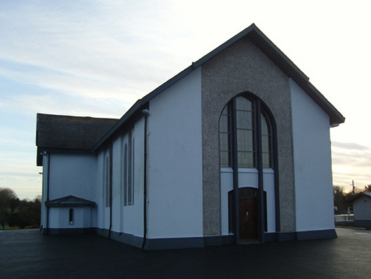 Saint Mary's Catholic Churchchurch/chapel · 230 yd
 IndicatedFairy fort / earthen ringfort · 304 yd
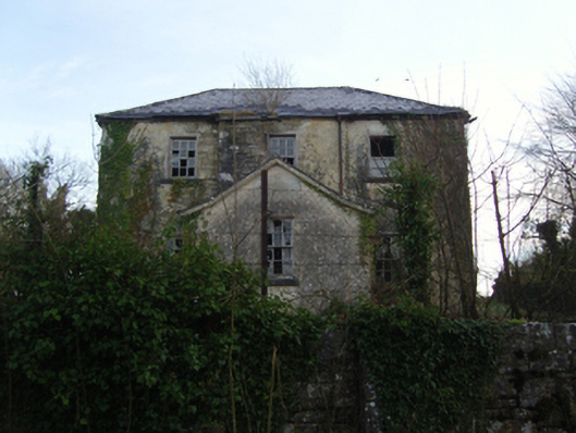 Burrisacarra Schoolschool · 516 yd
 Enclosure in ParksEnclosure · 1.1 mi
 Moore Hall Forest TrailWalking route · 1.2 mi
 Deer IslandIslet · 1.3 mi
 European hornbeamEuropean hornbeam · 1.4 mi
 Castlepark WoodWood · 1.4 mi
 Wall of CastleBawn · 1.4 mi
 Castle CarraCastle · 1.5 mi
 Lady's IslandIslet · 1.5 mi
 Cerberus, from Thomastown HouseMemorial · 1.8 mi
Other information
Photo: Credit not shown in the picture search · Rights wording not checked; contact us if this picture should be removed