What is recorded here
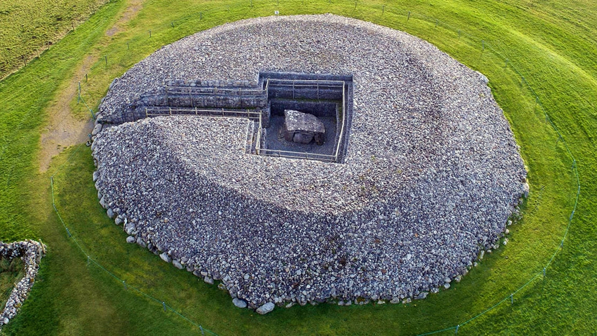
On top of a low E-W ridge on the S-facing slope of a ridge. Described as a flat-topped mound (diam. of top 6.7m N-S; 6.2m E-W) defined by a fosse. The barrow was eccentrically placed within an enclosure (diam. 30m E-W; 29m N-S) defined by an earthen bank (Gannon 1972). It is now visible as a circular grass-covered mound (diam. of base 5.5m; H 0.9m) with a flat top (diam. 2.4m), located in the NE quadrant of a subcircular grass-covered enclosure (RO006-147002-) (dims 30.5m E-W; 27m N-S) defined by a scarp (H 0.4-0.7m), which has an outer fosse (Wth of top 4.7m; ext. D 0.2m) SW-NW.
Compiled by: Michael Moore
Date of upload: 24 August 2010
Neolithic passage tomb; dates to the 4th millennium BCE. Part of the Carrowmore megalithic complex, one of the earliest and most significant Neolithic burial sites in Ireland.
The monument record does not grant public access. Check the route and ask the landowner before entering private land.
- What survives
- Recorded monument
Places near here
 IndicatedEnclosure · 6 yd
 Enclosure in Carrowmore (boyle By., Rockingham Ed)Enclosure · 512 yd
 R. C. ChapelChurch · 1.0 mi
 Moylung Castle (in ruins)Castle, unclassified · 1.1 mi
 Ancient RoadRoad, road/trackway · 1.2 mi
 Lough Key Forest ParkWood · 1.9 mi
 Longford HillMountain / peak · 2.1 mi
 Horse-chestnutHorse-chestnut · 2.2 mi
 Western RedcedarWestern Redcedar · 2.2 mi
 Erris BayBay · 2.3 mi
 Castle IslandIslet · 2.5 mi
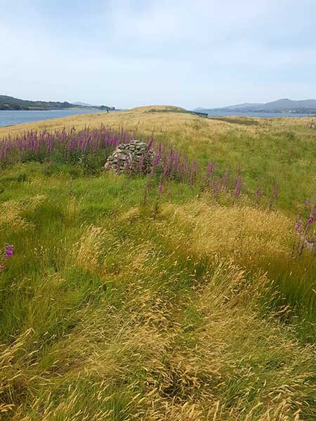 Drummans IslandIsland · 2.6 mi