What is recorded here
Situated on the E-facing slope of a N-S ridge in pasture. Raised circular area (diam. 24m) enclosed by a partly levelled bank of earth and stone (Wth. 3.3m; int. H 0.4m; ext. H 1.1m at S, 2m at E). No fosse. Original entrance not recognisable. A linear depression in the NW quadrant may mark a collapsed Man-made underground passage (SL012-009002-). O'Donovan
Date of upload: 19 January 2011
From the National Monuments Service (Archaeological Survey of Ireland) record SL012-009001
The monument record does not grant public access. Check the route and ask the landowner before entering private land.
- What survives
- Recorded monument
Places near here
Photo credits
- National Inventory of Architectural Heritage
- Colin Park, Geograph · CC BY-SA 2.0
- Oliver Dixon, Geograph · CC BY-SA 2.0
- Mick Garratt, Geograph · CC BY-SA 2.0
- Michael Dibb, Geograph · CC BY-SA 2.0
- Mike Searle, Geograph · CC BY-SA 2.0
- Florentchevallier, Wikimedia Commons · CC BY-SA 4.0
- Willow, Wikimedia Commons · CC BY 2.5
- Robin Mais, Geograph · CC BY-SA 2.0
- Archaeomoonwalker, Wikimedia Commons · CC BY 3.0
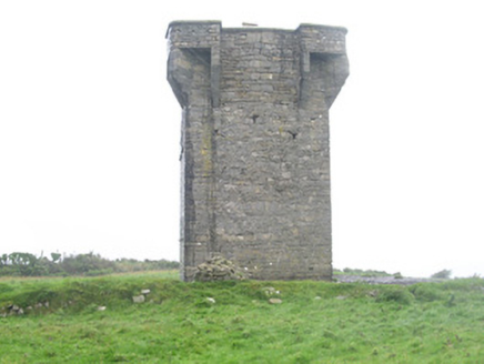 Carrownrush TowerSignal tower · 345 yd
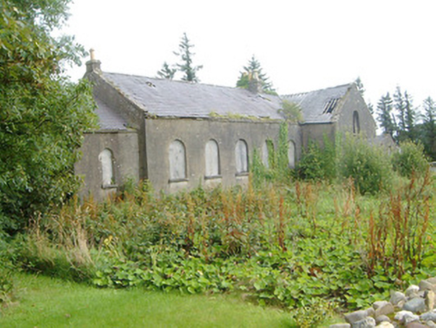 Dromore West Presbyterian ChurchChurch/chapel · 979 yd
 Split RockNamed rock · 2.2 mi
 Cooanmore PointHeadland · 3.2 mi
 Wild Atlantic Way: Easky PierVisitor information · 3.9 mi
 Roslee CastleCastle, tower house · 3.9 mi
 TowerSignal tower · 6.7 mi
 Wild Atlantic Way: Inishcrone PierVisitor information · 9.2 mi
 European ash9.5 mi
 Horse IslandIslet · 10.0 mi
 Enniscrone BeachBeach / strand · 10 mi
 Promontory fortPromontory fort, coastal · 10 mi
More archaeology and monuments in County Sligo · All of County Sligo
What do you know about this place?