What is recorded here
Indicated is an enclosure in Carrowkeel (roscommon By., Elphin Ed), County Roscommon, Ireland. It occupies a low rise on an east-west ridge southeast of a rath. A rectangular grass-covered area measures twenty-four metres north-south and twenty-two metres east-west. Earthen banks at the north and east define the space, while a road bank cuts through the south.
On a low rise of a low E-W ridge, and attached to SE of rath (RO017-122001-). Rectangular grass-covered area (int. dims 24m N-S; 22m E-W) defined by an earthen bank (Wth 3.4-4m; int. H 0.3-0.5m; ext. H 0.7-1m) at N and E, but it is cut by a road bank at S.
Compiled by: Michael Moore
Date of upload: 24 August 2010
The monument record does not grant public access. Check the route and ask the landowner before entering private land.
- What survives
- Recorded monument
Places near here
 IndicatedFairy fort / earthen ringfort · 31 yd
 Bivallate enclosureFairy fort / earthen ringfort · 468 yd
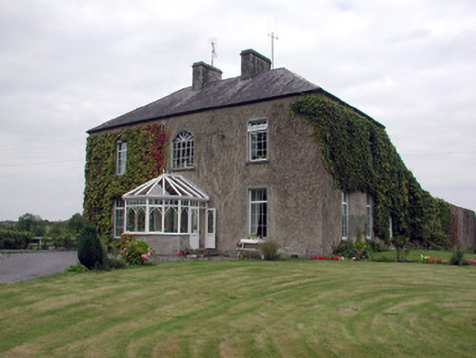 Smith Hill Housecountry house · 1531 yd
 Church (in Ruins)Church · 1759 yd
 Coolnahinch WoodWood · 2.2 mi
 Church WoodWood · 2.5 mi
 War of Independence Commemorative Military MemorialMemorial · 2.9 mi
 Castle (Site of)Castle, unclassified · 3.8 mi
 Site of Dangan CastleCastle, unclassified · 5.6 mi
 Cruachan Aí Heritage CentreMuseum · 6.5 mi
 Patrick Gill Memorial Plaque (IRA)Monument · 7.7 mi
 Otter IslandIslet · 8.3 mi