What is recorded here
Indicated is a fairy fort or earthen ringfort in Carrowhubbuck South, County Sligo, Ireland. It occupies a raised circular area near the western edge of undulating pasture. An earthen bank encloses the site, shows sea shells in exposed sections, and contains an eastern entrance break. An opening near the northern inner face leads to a man-made underground passage.
Situated close to the W edge of a raised area in undulating pasture. Raised circular area (27.3m NE-SW; 25.7m NW-SE) enclosed by an earthen bank (Wth 3-3.4m; int. H 0.2-0.4m; ext. H 1.4m at E, 0.9m at W). Sea shells are visible in exposed sections of the external face of the bank. A break (Wth 2-3m) in the bank at E marks the original entrance. There is an opening to a Man-made underground passage (SL016-017002-) close to the inner face of the bank at N.
Compiled by: Patrick F. O'Donovan
Date of upload: 19 January 2011
The monument record does not grant public access. Check the route and ask the landowner before entering private land.
- What survives
- Recorded monument
Places near here
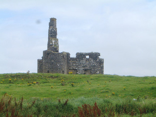 Inishcrone Castlecastle/fortified house · 203 yd
 Enniscrone ring fortsRuins · 300 yd
 IndicatedFairy fort / earthen ringfort · 605 yd
 IndictatedFairy fort / earthen ringfort · 777 yd
 Wild Atlantic Way: Inishcrone PierVisitor information · 861 yd
 Grave of the Black PigArchaeological place · 1.3 mi
 The Black PigMemorial · 1.3 mi
 Enniscrone BeachBeach / strand · 1.4 mi
 Castle FirbisCastle, tower house · 1.7 mi
 Horse IslandIslet · 2.9 mi
 Goose IslandIslet · 3.2 mi
 Barnasock PointHeadland · 3.3 mi