What is recorded here
In grassland and rock outcrop, c. 160m N of Lough Cutra. Mixed woodland lies immediately to the S. Marked on the 3rd edition of the OS 6-inch map (1921) as a circular enclosure (diam. c. 27m) with a tree in the centre of the interior. No visible surface trace survives.
From the National Monuments Service (Archaeological Survey of Ireland) record GA129-006
The monument record does not grant public access. Check the route and ask the landowner before entering private land.
- What survives
- Recorded monument
Places near here
Photo credits
- National Inventory of Architectural Heritage
- dougf, Wikimedia Commons · CC BY-SA 2.0
- Mike Searle, Wikimedia Commons · CC BY-SA 2.0
- Lucarelli, Wikimedia Commons · CC BY-SA 3.0
- Alvesgaspar, Wikimedia Commons · CC BY-SA 3.0
- John M, Geograph · CC BY-SA 2.0
- Humphrey Bolton, Geograph · CC BY-SA 2.0
- Andreas F. Borchert, Wikimedia Commons · CC BY-SA 4.0
- colm, Wikimedia Commons · CC BY-SA 2.0
- The Banner, Wikimedia Commons · CC BY-SA 3.0
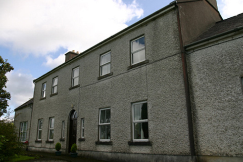 Prospect HouseCountry house · 1.1 mi
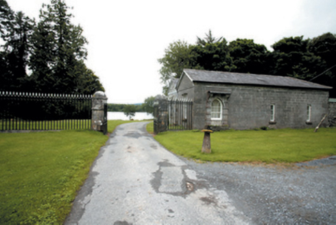 Lough Cutra CastleGate lodge · 1.2 mi
 Kiltartan Castle (in ruins)Castle, Anglo-Norman masonry castle · 3.2 mi
 Ardamullivan Castle (in ruins)Castle, tower house · 3.3 mi
 Holm Oak3.6 mi
 Common Lime3.8 mi
 Kilmacduagh Monastic SiteVisitor information · 4.1 mi
 Kilmacduagh MonasteryHeritage attraction · 4.1 mi
 Templemore or Cathedral (in ruins)Cathedral · 4.1 mi
 Grave YardGraveyard · 4.1 mi
 MagheraMountain / peak · 6.0 mi
 Burren National ParkNature reserve · 8.8 mi
More archaeology and monuments in County Galway · All of County Galway
What do you know about this place?