What is recorded here
In pasture on a gentle rise with good views in all directions. Indicated on the 1840 OS 6-inch map as a curving field boundary and known locally. A subcircular enclosure (34m N-S) defined by a scarp (H 2m) NNW-SSE. Bisected by the Lisdoonvarna-Kilshanny road along this axis. To the W of the road only a slight semicircular rise survives and it is piled with field clearance rubble. Large boulders along the wall bordering the road that cuts the monument suggest that it may have been a cashel.
In pasture on a gentle rise with good views in all directions. Indicated on the 1840 OS 6-inch map as a curving field boundary and known locally. A subcircular enclosure (34m N-S) defined by a scarp (H 2m) NNW-SSE. Bisected by the Lisdoonvarna-Kilshanny road along this axis. To the W of the road only a slight semicircular rise survives and it is piled with field clearance rubble. Large boulders along the wall…
From the National Monuments Service (Archaeological Survey of Ireland) record CL015-121
The monument record does not grant public access. Check the route and ask the landowner before entering private land.
- What survives
- Recorded monument
Places near here
Photo credits
- National Inventory of Architectural Heritage
- Gordon Hatton, Geograph · CC BY-SA 2.0
- Roger Diel, Geograph · CC BY-SA 2.0
- N Chadwick, Geograph · Creative Commons Attribution-ShareAlike 2.0
- Dan J J Kahn, Wikimedia Commons · CC BY-SA 4.0
- N Chadwick, Geograph · CC BY-SA 2.0
- Colin Park, Geograph · CC BY-SA 2.0
- Joseph Mischyshyn, Geograph · CC BY-SA 2.0
- P.hammer, Wikimedia Commons · CC BY-SA 3.0
- nick macneill, Geograph · CC BY-SA 2.0
- Bob Jones, Geograph · CC BY-SA 2.0
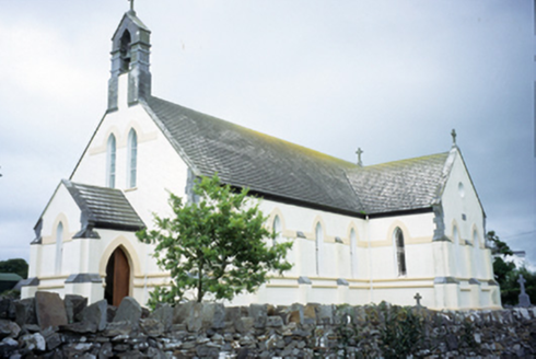 Saint Augustine's Catholic ChurchChurch/chapel · 1131 yd
 Smithstown Castle (in ruins)Castle, tower house · 1.3 mi
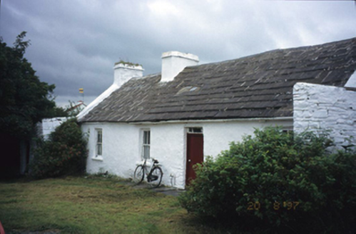 farm house2.0 mi
 Site of Lisdoonvarna CastleCastle, tower house · 3.5 mi
 Graveyard3.5 mi
 CrossCross, High cross · 3.5 mi
 High CrossHeritage attraction · 3.5 mi
 Burren Centre KilfenoraVisitor information · 3.5 mi
 Famine MemorialMemorial · 3.6 mi
 Doolin CaveCave · 4.0 mi
 Lahinch BeachBeach / strand · 4.3 mi
 Wild Atlantic Way: Doolin PierVisitor information · 4.6 mi
More archaeology and monuments in County Clare · All of County Clare
What do you know about this place?