What is recorded here
In pasture, located on a rise, with good views, especially to S−SW over an extensive sweep of flat bog. A narrow N−S by-road, flanked by field fences, lies immediately to E of the rath. Circular platform (33.4m N–S; 31m E–W) defined by an earthen scarp (H 1.6m at NE, 1.3m at SW), and enclosed on the W half by remnants…
Read the whole record
From the National Monuments Service (Archaeological Survey of Ireland) record MA082-001001
Places near here
Photo credits
- National Inventory of Architectural Heritage
- Maker not stated on source page, www.tonyoneill.org
- Maker not stated on source page, www.youtube.com
- David Farrell Photography / Western People, www.westernpeople.ie
- Maker not stated on source page, www.atlasobscura.com
- Aghamore GAA Club; individual photographer not stated, aghamoregaaclub.com
- Maker not stated on source page, www.pinterest.com
- Maker not stated on source page, www.visitgalway.ie
 Tavraun HouseFarm house · 791 yd
Explorer Tom Tavraun House in Tavraun bragged about surviving a storm that flattened the neighbors’ sheds. It’s got those nice views…
 Saint Patrick's Catholic ChurchChurch/chapel · 1.4 mi
Explorer Tom Saint Patrick's Catholic Church in Glentavraun is playing dress-up as an early nineteenth-century barn because…
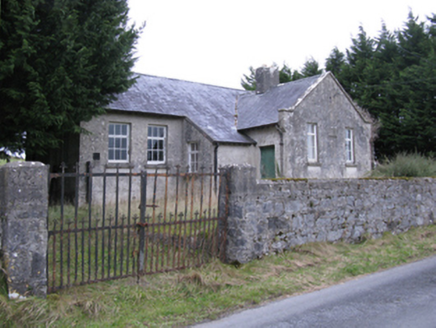 Saint Patrick's National SchoolSchool · 1.7 mi
Explorer Tom Saint Patrick's National School in Falleighter is described as disheveled, which is a polite way of saying it looks…
 Wedge tomb in Carrowbaun (costello By.)Wedge tomb · 2.0 mi
Explorer Tom Wedge tomb in Carrowbaun has been hiding a scandal involving a missing shoe for centuries. The stones stick out like…
 Fairy fort / ringfort in RathFairy fort / ringfort · 2.2 mi
Explorer Tom Fairy fort / ringfort in Rath has been levelled so flat you can’t see it. It’s having a massive row with the nearest…
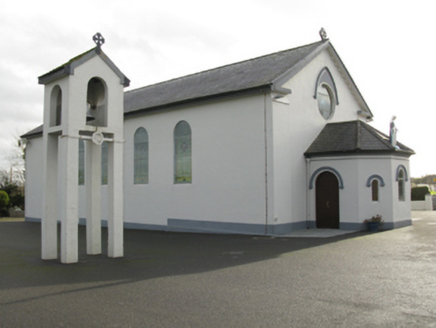 Catholic Church of Saint Mary and Saint MichaelChurch/chapel · 2.7 mi
Explorer Tom Catholic Church of Saint Mary and Saint Michael in Cloongawnagh refuses to fall down because it’s too proud of its…
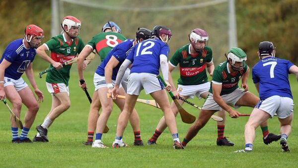 Adrian Freeman Memorial Park, Tooreen GAAGAA ground · 2.8 mi
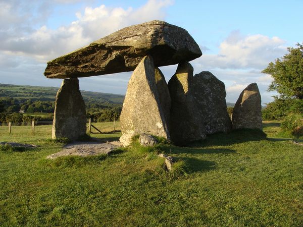 Megalithic structure in Tooreen (costello By.)Megalithic structure · 2.9 mi
Explorer Tom Megalithic structure in Tooreen is stuck in a feud over who owns the view. One family says it's theirs; the other just…
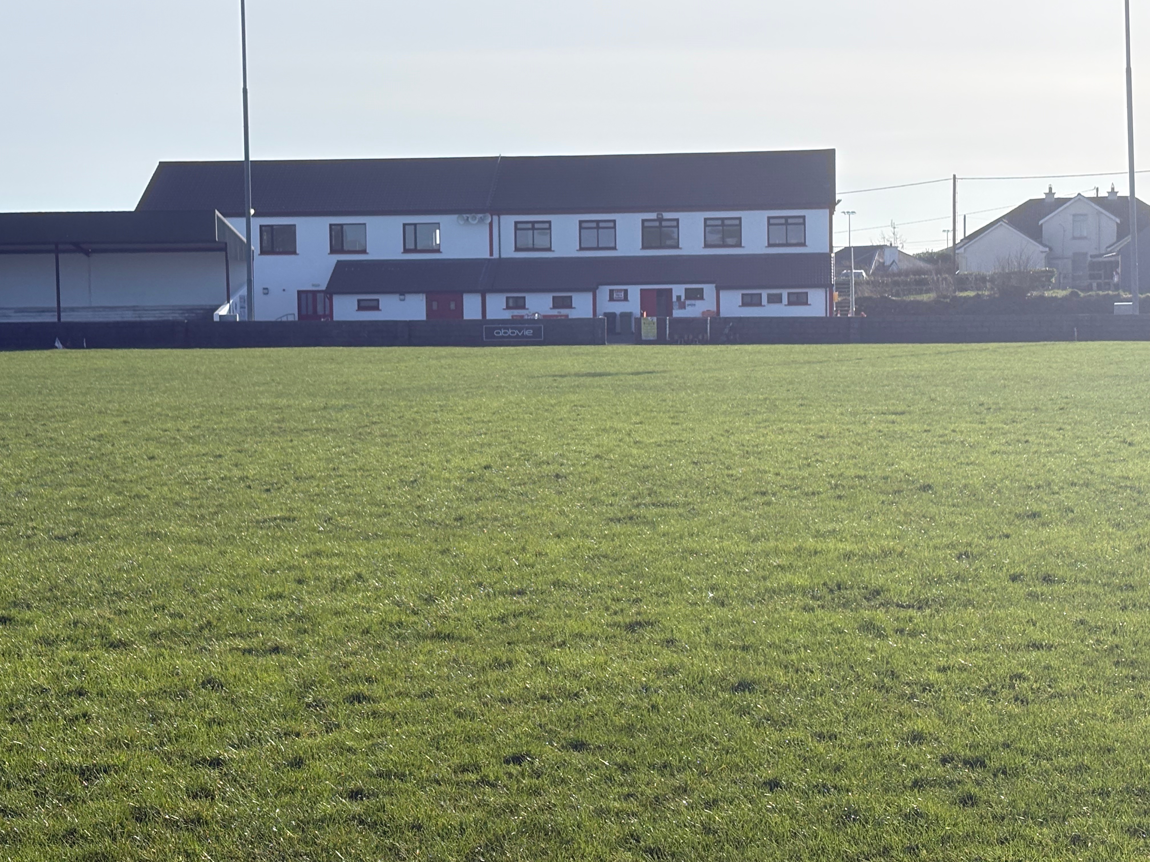 Aghamore Pitch, Aghamore GAAGAA ground · 3.2 mi
 Megalithic tomb in Kilgarriff WestMegalithic tomb · 3.4 mi
Explorer Tom Megalithic tomb in Kilgarriff West has vanished under the runway. A local crow still lands on it every day, refusing to…
 Castle in ruinsCastle, tower house · 19 mi
Explorer Tom Castle in ruins in Kilcloony claims to be from the 15th century, which is a bold lie for two floors of ruin. It was…
 Mapped cemeteryCemetery · 19 mi
Explorer Tom Look at this Mapped Cemetery in County Galway! The seagulls are having a fierce debate about whether the headstones…
More archaeology and monuments in County Mayo · All of County Mayo

What do you know about this place?Tap to add a comment or ask a question