What is recorded here
In wet, marshy, low-lying terrain on a valley floor with a stream running along the W side of the enclosure. Oval area (diam. c. 43m N-S; 37.4m E-W) enclosed by a flattened bank (Wth 3.3m; int. H 0.4m; ext. H 0.42m), in places reduced to scarp. A field boundary, consisting of an earthen bank, forms the NW quadrant and another runs along the N quadrant. The edge of the enclosure is very denuded due to cattle poaching. There is a lot of scrub on the edge of the enclosure, the W quadrant is the clearest. There is no definable entrance, however the bank is much denuded. Another enclosure (TS088-087----) is located c. 100m to the N.
Compiled by: Jean Farrelly
Date of upload: 28 November 2013
The monument record does not grant public access. Check the route and ask the landowner before entering private land.
- What survives
- Recorded monument
Places near here
 Enclosure in Carrow (ballybacon Par.)Enclosure · 164 yd
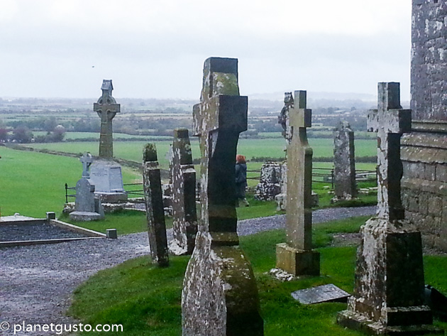 Ritual siteRitual site, holy/saint's stone · 374 yd
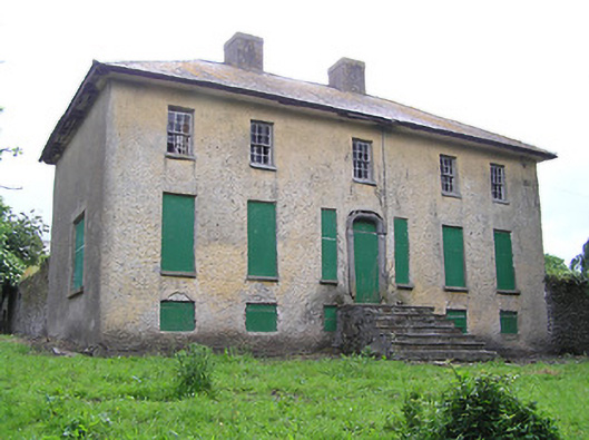 Lacken Househouse · 947 yd
 Site of Clocully CastleCastle, unclassified · 1.1 mi
 Ladys Abbey (in ruins)Religious house, Carmelite friars · 1.1 mi
 Bawn in FrehansBawn · 1.7 mi
 Kildanogue wildfowl sanctuary and nature reserveNature reserve · 2.4 mi
 Woodcock HillMountain / peak · 2.5 mi
 European long distance path E8 - part IrelandWalking route · 2.9 mi
 Roche's HillMountain / peak · 3.3 mi
 The VeeViewpoint · 3.8 mi
 Grubb’s GraveMemorial · 3.9 mi