
What is recorded here
Rectangular area projecting E into Glandore harbour. Excavation by O'Kelly (1952, 29-35) found no trace of occupation in 'archaeologically sterile' interior. Sections through defences at neck of promontory revealed dry-stone faced bank (H c. 4ft) with core of stone chips quarried from steep-sided fosse (D c. 6ft); original entrance not found, O'Kelly suggests it may have been at either end and subsequently eroded away. Promontory overgrown with bracken when visited; little erosion since O'Kelly's excavation in 1950.
The above description is derived from the published 'Archaeological Inventory of County Cork. Volume 1: West Cork' (Dublin: Stationery Office, 1992). In certain instances the entries have been revised and updated in the light of recent research.
Date of upload/revision: 14 January 2009
A local fairy fort (ringfort/rath); wider significance not recorded.
The monument record does not grant public access. Check the route and ask the landowner before entering private land.
- What survives
- Recorded monument
Places near here
 Faill a' Bhach IodhnaCliff · 502 yd
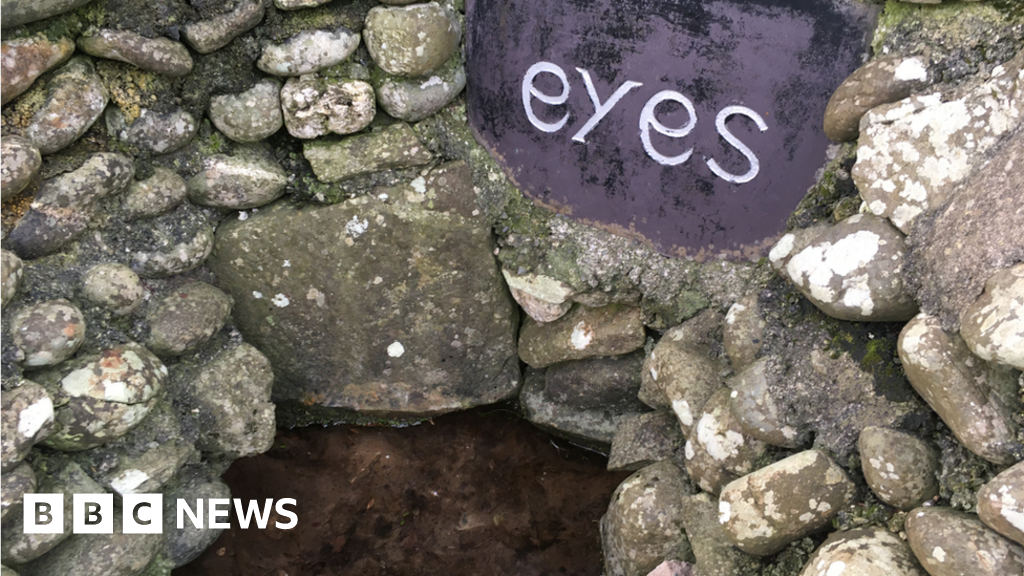 Holy well in CarrigillihyHoly well · 578 yd
 Kill (site of )Burial ground · 611 yd
 Cuas DallBeach / strand · 681 yd
 Seaview Housefarm house · 697 yd
 Adam's IslandIslet · 802 yd
 Pointe an DoraisCliff · 838 yd
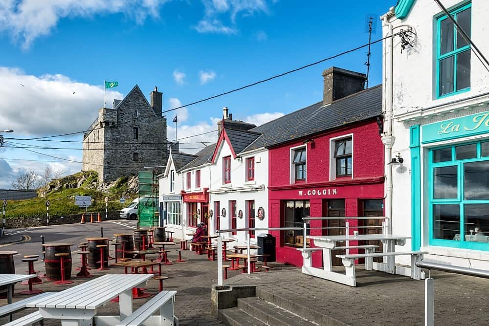 Cúisín DarraíBeach / strand · 900 yd
 Eve IslandIslet · 1124 yd
 Péicin Thalamh na GainmheMountain / peak · 1636 yd
 Seomraí Faoi ThalamhCave · 1655 yd
 Cooks WoodWood · 1.3 mi
Other information
Photo: Credit not shown in the picture search · Rights wording not checked; contact us if this picture should be removed