
What is recorded here
At the S end of a pasture ridge which is scarped sharply along the W side to facilitate a modern farm road. A circular area (diam. c. 50m) is defined by an earthen bank (Wth 2m; H 1-1.2m) NE-S-NW. The interior is slightly raised at the W. A low, square platform (L c. 10m; Wth c. 10m) visible inside the bank at W in 1987 (SMR file) is no longer visible. The monument may possibly have been the site of an encampment connected with the siege of Ballyshannon Castle (KD032-003001-) in 1650?
Compiled by: Gearóid Conroy
Date of upload: 14 October 2013
The monument record does not grant public access. Check the route and ask the landowner before entering private land.
- What survives
- Recorded monument
Places near here
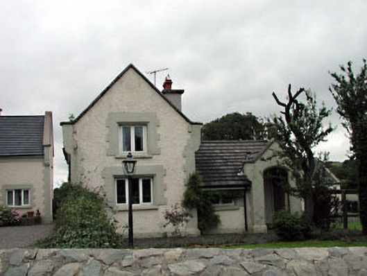 Calverstown Cottagehouse · 927 yd
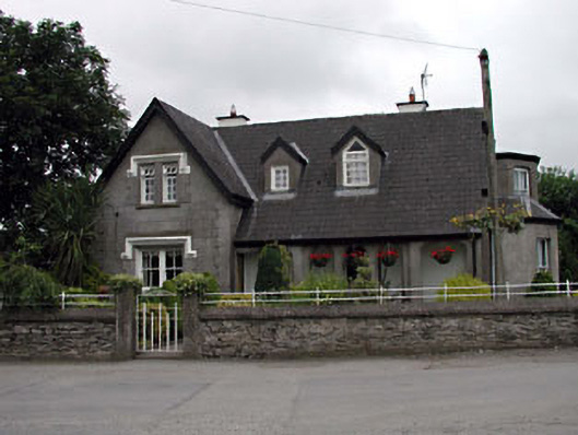 Grove Villahouse · 994 yd
 Enclosure in CalverstownEnclosure · 1759 yd
 Castle in RuinsCastle, tower house · 1.4 mi
 Blackhall CastleCastle, tower house · 1.4 mi
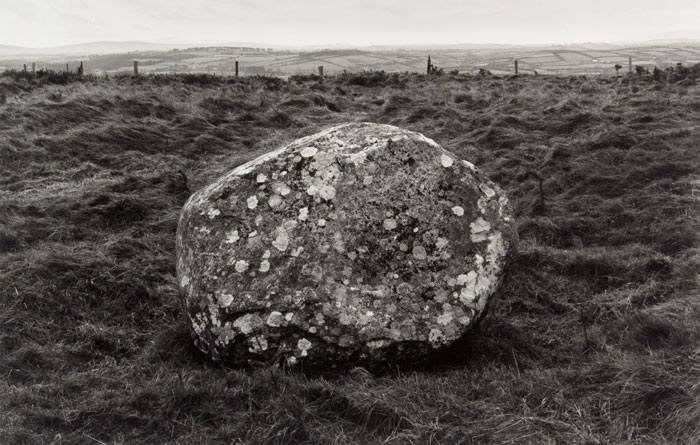 Enclosure in KilgowanEnclosure · 1.7 mi
 HawthornHawthorn · 2.3 mi
 Battle of Kilrushbattle · 2.6 mi
 Narraghmore Nature ReserveForest · 2.7 mi
 1798 memorial stoneMonument · 4.3 mi
 Japanese GardensHeritage attraction · 5.6 mi
 Irish National Stud and Japanese GardensHeritage attraction · 5.6 mi
Other information
Photo: Credit not shown in the picture search · Rights wording not checked; contact us if this picture should be removed