What is recorded here
A roadway, known locally as Boithrín na Socraithe or the road of the funerals, was built to connect the W and E sides of Rathgormuck parish that are separated by the Comeragh Mountains. The E part of the road, from the Gap, called Barnavelavallagh, is marked on the Grand Jury map of Co. Waterford. dated 1818 (NLI: 16 J 4). The road rises on the W side from c. OD 320m in Carrigeen to the summit of The Gap at c. OD 460m, and descends through Graigavalla to a height of c. OD 320m (L c. 3.5km). At one time the E end continued down to roads on the lowland and on to Rathgormuck church (WA003-040001-). It is traceable over most of its length, apart from the summit eastwards in Graigavalla where it cannot ba identified in a severe slope. It is visible as a grass and heather-covered sunken area (Wth c. 4-8m; D 0.2-0.5m), often bordered with slight earthen and stone banks. In many places the roadway has become a drain, since the opening of the surface provides an oportunity for rainwater to erode a channel, and the gradient provides a slope. In Carrigeen it is on a gentle S-facing slope, but in Graigavalla it is on a more severe N-facing slope.
A roadway, known locally as Boithrín na Socraithe or the road of the funerals, was built to connect the W and E sides of Rathgormuck parish that are separated by the Comeragh Mountains. The E part of the road, from the Gap, called Barnavelavallagh, is marked on the Grand Jury map of Co. Waterford. dated 1818 (NLI: 16 J 4). The road rises on the W side from c. OD 320m in Carrigeen to the summit of The Gap at c. OD…
From the National Monuments Service (Archaeological Survey of Ireland) record WA006-067
The monument record does not grant public access. Check the route and ask the landowner before entering private land.
- What survives
- Recorded monument
Places near here
The Boolas LoopWalking route · 1137 ydThe Gap WalkWalking route · 1280 ydHut site in Curraghduff (upperthird By., Rathgormuck Par.)Hut site · 1345 ydCairnCairn, ring-cairn · 1447 yd KnockanaffrinMountain / peak · 1.5 miCoumfea North TopMountain / peak · 1.7 miCoumshingaunMountain corrie and lake · 2.1 miNell's CottageFarm house · 2.2 miMahon FallsWaterfall · 2.7 miMahon ValleyCliff · 2.9 miCatholic Church of Saint Helena of the CrossOfficially recorded historic building · 3.1 miCoolnamuck Castle (in Ruins)Castle, tower house · 6.4 mi
 KnockanaffrinMountain / peak · 1.5 mi
 Coumfea North TopMountain / peak · 1.7 mi
 CoumshingaunMountain corrie and lake · 2.1 mi
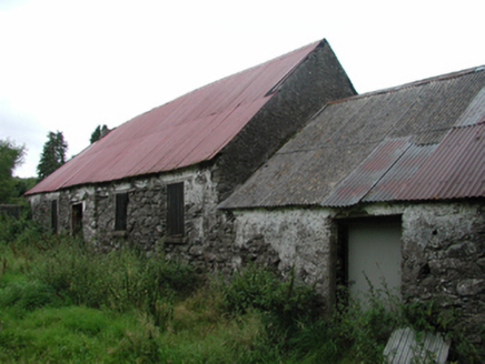 Nell's CottageFarm house · 2.2 mi
 Mahon FallsWaterfall · 2.7 mi
 Mahon ValleyCliff · 2.9 mi
 Catholic Church of Saint Helena of the CrossOfficially recorded historic building · 3.1 mi
 Coolnamuck Castle (in Ruins)Castle, tower house · 6.4 mi
Pictures: Colin Park, Geograph · CC BY-SA 2.0; Kevin O'Brien 13, Wikimedia Commons · CC BY-SA 4.0; National Inventory of Architectural Heritage; Rwxrwxrwx at English Wikipedia, Wikimedia Commons · Public domain; kevin higgins, Geograph · CC BY-SA 2.0; John M, Geograph · CC BY-SA 2.0
More historic places in County Waterford · All of County Waterford
What do you know about this place?