What is recorded here
Situated on top of a rise, in undulating pasture, with good views to NE and W, obscured to S by a large ridge running E-W. Depicted on the revised 1910 ed. OS 25-inch map as a small roughly circular-shaped feature annotated ‘Cloghstuck’. Monument described in 1979 as no surface remains visible of a standing stone at this location. The stone has been removed and there is no indication of its former position on the surface. A short stretch of field fence running NW-SE to W of the stone, as shown on the revised 1910 ed. OS 25-inch map, has also been removed. A large triangular-shaped block of limestone (approx. L 2m; Wth 1m; T 0.75m) which is lying prostrate against the field fence to NE may be the ex-situ standing stone. It tapers toward the top and has no trace of any distinguishing features on its exposed surfaces.
Compiled by Alison McQueen, Vera Rahilly and Caimin O’Brien.
Date of upload: 18 December 2019
Likely dating to the Neolithic or Bronze Age, Cappanrush standing stone may have functioned as a territorial marker or ceremonial focus, possibly aligned with wider ritual landscapes. Local folklore sometimes associates such stones with protective or ancestral significance.
This remains an important historical record, but the official description says the monument is no longer visible or has been destroyed. The monument record does not grant public access. Check the route and ask the landowner before entering private land.
- What survives
- No visible remains or recorded as destroyed
Places near here
 CloghstuckArchaeological place · 2 yd
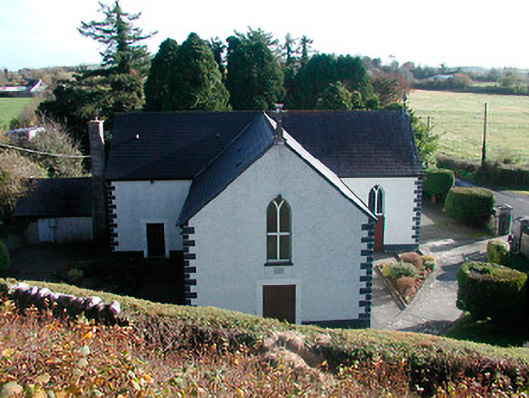 Saint Hugh's Catholic Churchchurch/chapel · 539 yd
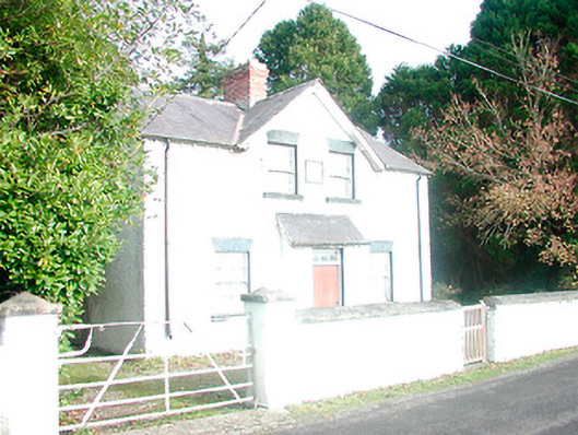 presbytery/parochial/curate's house, building miscpresbytery/parochial/curate's house, building misc · 553 yd
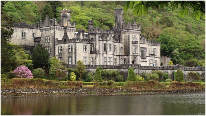 Kiltober CastleCastle, tower house · 971 yd
 Montrath Castle (in ruins)Castle, tower house · 1612 yd
 StructureStructure, peatland · 1.3 mi
 Ardan WoodWood · 1.5 mi
 Lackan HillMountain / peak · 1.6 mi
 Cruil HillMountain / peak · 1.8 mi
 Saint Clavin's WellSpring · 2.4 mi
 Bracklin WoodWood · 2.8 mi
 Graveyard in BallycommonGraveyard · 4.3 mi