What is recorded here
An area marked on the 1946 revision of the OS 6-inch map by a series of dots proved on inspection in 1983 to be a quarry.
Compiled by: Olive Alcock
Date of upload: 23 July 2014
The monument record does not grant public access. Check the route and ask the landowner before entering private land.
- What survives
- Recorded monument
Places near here
 The Wet WoodWood · 1.0 mi
 The North WoodWood · 1.2 mi
 Séadchomhartha Athar Ó Grióbhtha [Father Griffin Monument]monument · 1.3 mi
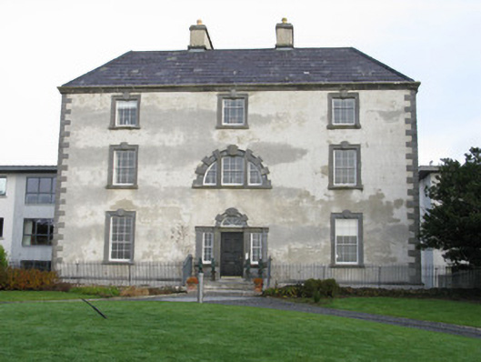 Barna Househouse · 1.3 mi
 Site of Barna CastleCastle, unclassified · 1.4 mi
 ToberendaHoly well · 1.5 mi
 Tobar ÉannaMonument · 1.5 mi
 Silver StrandBeach / strand · 1.9 mi
 Cnoc na gCuinínCliff · 1.9 mi
 Mags BoreenBeach / strand · 2.0 mi
 Seaweed PointIslet · 2.1 mi
 Menlo CastleCastle · 2.7 mi