What is recorded here
The site of the subcircular enclosure shown at this location on the second edition of the OS map is now occupied by a cattle yard, constructed about twenty years ago. The landowner recalls that the site was enclosed by a bank and external fosse before it was levelled. It was locally referred to as a 'fort'.
The above description is derived from A. O'Sullivan and J. Sheehan (compilers), 'The Iveragh peninsula: an archaeological survey of South Kerry'. Cork University Press (1996), no. 642. In certain instances the entries have been revised and updated in the light of recent research.
Date of upload: 29 July 2013
The monument record does not grant public access. Check the route and ask the landowner before entering private land.
- What survives
- Recorded monument
Places near here
 Castle Core (in Ruins)Castle, tower house · 675 yd
 Enclosure in ChurchtownEnclosure · 735 yd
 IndicatedFairy fort / earthen ringfort · 785 yd
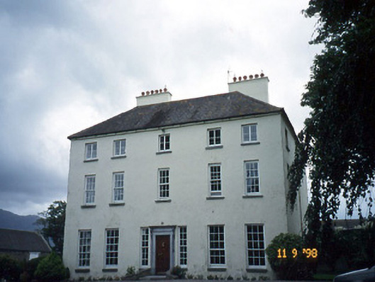 Churchtown Housecountry house · 787 yd
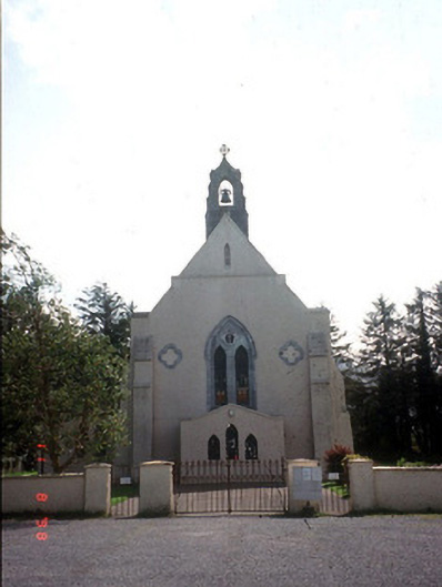 Saint Mary's Catholic Churchchurch/chapel · 1375 yd
 Dunloe Ogham StonesHeritage attraction · 1.5 mi
 CastleCastle, tower house · 1.7 mi
 Japanese pagoda treeJapanese pagoda tree · 1.7 mi
 European YewEuropean Yew · 1.7 mi
 Tomies Mountain North TopMountain / peak · 3.3 mi
 The Kerry Creamery ExperienceHeritage attraction · 3.6 mi
 KnockroeMountain / peak · 3.6 mi