What is recorded here
In pasture, on a natural rise in rolling grassland, with excellent views in all direstions. A circular enclosure (diam. c. 45m) is shown on the 1838 OS-6-inch map; it is indicated on the 1915 edition as an irregular oval-shaped enclosure (48m N−S; 35m E−W). It has been levelled. A faint undulation (c. 35-40m N−S; c. 32-35m E−W) following the natural contours of the rise can be traced at ground level. An E−W field wall traverses the N edge.
In pasture, on a natural rise in rolling grassland, with excellent views in all direstions. A circular enclosure (diam. c. 45m) is shown on the 1838 OS-6-inch map; it is indicated on the 1915 edition as an irregular oval-shaped enclosure (48m N−S; 35m E−W). It has been levelled. A faint undulation (c. 35-40m N−S; c. 32-35m E−W) following the natural contours of the rise can be traced at ground level. An E−W field…
From the National Monuments Service (Archaeological Survey of Ireland) record MA119-053
The monument record does not grant public access. Check the route and ask the landowner before entering private land.
- What survives
- Recorded monument
Places near here
Photo credits
- Geograph contributor · CC BY-SA 2.0
- National Inventory of Architectural Heritage
- Sitomon, Wikimedia Commons · CC BY-SA 2.0
- Mike Searle, Wikimedia Commons · CC BY-SA 2.0
- Christian Pirkl, Wikimedia Commons · CC BY-SA 3.0 at
- Nigel Thompson, Wikimedia Commons · CC BY-SA 2.0
- Nigel Thompson, Geograph · Creative Commons Attribution-ShareAlike 2.0
- The original uploader was Dppowell at English Wikipedia ., Wikimedia Commons · CC BY-SA 2.5
- C Michael Hogan, Geograph · CC BY-SA 2.0
- Rick Crowley, Wikimedia Commons · CC BY-SA 2.0
 Killernan CastleCastle · 1173 yd
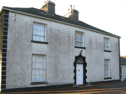 Fort VilleFarm house · 1291 yd
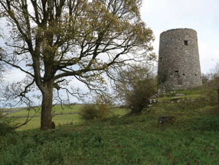 Highwood MillMill (wind) · 1308 yd
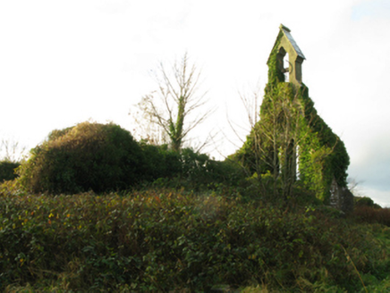 Holy Trinity Church (Kilmainemore)Church/chapel · 1.3 mi
 European Yew2.4 mi
 Cloonagashel CastleCastle · 4.3 mi
 Sycamore4.4 mi
 The Gods of the Neale MonumentMonument · 5.1 mi
 Grave YardGraveyard · 6.8 mi
 Ross Errilly FriaryHeritage attraction · 8.0 mi
 Ashford castleViewpoint · 8.7 mi
 Inis an GhaillIsland · 12 mi
More archaeology and monuments in County Mayo · All of County Mayo
What do you know about this place?