What is recorded here
In pasture, on gentle SE-facing slope immediately below top of ridge. Monument, depicted on 1923 OS 6-inch map as circular enclosure (diam. c. 25m), has been levelled. No trace of monument evident when inspected. Located within demesne of Cahermoyle House and may therefore have been landscape feature.
Compiled by: Denis Power
Date of upload: 26 August 2011
The monument record does not grant public access. Check the route and ask the landowner before entering private land.
- What survives
- Recorded monument
Places near here
 St. Lukes WellHoly well · 364 yd
 St. Luke's WellSpring · 375 yd
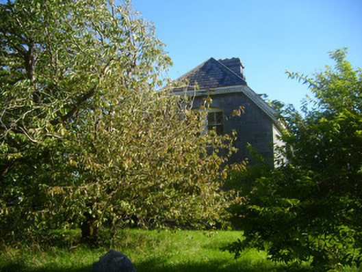 Cathair Maothailhouse, steward's house · 447 yd
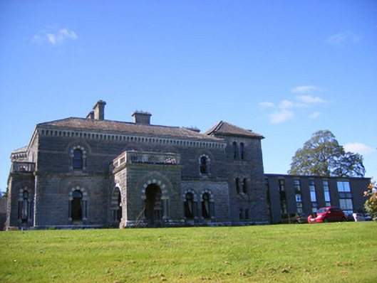 Cahermoyle Housecountry house, church/chapel · 476 yd
 CahermoyleCastle, unclassified · 658 yd
 KyleArchaeological place · 1005 yd
 Castle (in ruins)Castle, tower house · 1.4 mi
 St. Kieran's WellSpring · 1.6 mi
 European ashEuropean ash · 3.9 mi
 Limerick GreenwayWalking route · 5.5 mi
 Sugar HillMountain / peak · 7.2 mi
 Gammarel PointHeadland · 8.0 mi