DDiscover AloneMapAbout

Ecclesiastical enclosure in Caherlehillan

Ecclesiastical enclosure
Computer-made picture that does not show Ecclesiastical enclosure in CaherlehillanNot a photo of this monument
Computer-made picture. It does not show this monument. · Report the wrong picture

What is recorded here

This site is located at the mouth of a valley on the lower W slopes of Mullaghnarakill mountain. Situated on a fairly level terrace on the N side of the valley, it commands extensive views to W. Running below it, to S, is a tributary of the Ferta river. The site is currently being excavated as part of UCC's…

Read the whole record
This site is located at the mouth of a valley on the lower W slopes of Mullaghnarakill mountain. Situated on a fairly level terrace on the N side of the valley, it commands extensive views to W. Running below it, to S, is a tributary of the Ferta river. The site is currently being excavated as part of UCC's undergraduate training programme (Sheehan 1994a, 41-2). The following report describes the features and structures that were visible before excavation. The original enclosing element survives only from E through to SW, where it barely rises above the internal ground level of the site. It is a rubble-built wall with an outer facing of large, horizontally laid slabs. It averages 1.8m wide and 1m high externally. The remains of an entrance feature survive at E and consist of two slabs, 1.35m apart, set at right angles to the line of the enclosing wall. Elsewhere, modern field walls and a laneway flank the site at N, NE and W. The enclosed area presently measures 20.6m N-S x 30m E-W, though a short, low stretch of a tree-lined bank, located on the N side of the laneway, may represent the limits of the site here. The NE quadrant is raised above the remainder of the site and is largely occupied with uninscribed upright slabs. It is locally known as a ceallúnach, and children were buried here up to the early twentieth century. Two cross-slabs and an unusual shrine occur in the SE portion of this area. Shrine (KE070-043003-): This poorly preserved feature consists of a rectangular mound, 2.9m N-S x 1.9m E-W, which is retained by upright slabs set on edge. A number of these slabs are missing or buried, particularly at N, while the remainder tend to incline outward. Low pillars occur at the SE, SW and NW corners of the structure. The mound is largely composed of stone, including some quartz and its upper surface appears to be paved with slabs. It appears to be a variant type of corner-post shrine. Cross-Slabs: (1) (KE070-043002-) This narrow slab stands just outside the NW angle of the shrine. It is 1.15m high and tapers toward its base from a maximum width of .27m. Its top edge is divided by a deep notch. On its W face is a linear latin cross with outwardly disposed C-scroll terminals. Beneath this is a roundel containing four similarly disposed C-scroll motifs. (2) (KE070-043004-) Standing just to S of (1), this slab is .75m high and .23m wide at the top, broadening gradually to a maximum width of .45m near its base. On its W face is an encircled Maltese cross. Its centre is separated from the arms by grooves and it features a small central dot. Pendant from the encircled cross is a grooved stem, divided midway by a lozenge-shaped expansion and ending in a small triangular expansion. Below this, on either side, are two S-shaped motifs, on edge, while a stylised bird is outlined in profile above. (3) (KE070-043005-) A fragment of a third cross-slab was noted at the site (Macalister 1939b, 21), but its present location is unknown. A photograph, apparently taken during the 1950s, clearly indicates that this slab featured a Maltese cross or a cross of arcs (information: P. Harbison). Cork University Press (1996), no. 934.

From the National Monuments Service (Archaeological Survey of Ireland) record KE070-043

The monument record does not grant public access. Check the route and ask the landowner before entering private land.

What do you know about this place?Tap to add a comment or ask a question

What you write will be public.

Places near here

Photo credits
  • User:Cqui, Wikimedia Commons · CC BY-SA 3.0
  • Colin Park, Geograph · CC BY-SA 2.0
  • Fthierygeo, Wikimedia Commons · CC BY 4.0
  • Oliver Dixon, Geograph · CC BY-SA 2.0
  • Philip Pötsch, Philipweb, Wikimedia Commons · CC BY 4.0
  • CelticMist, Wikimedia Commons · CC BY-SA 4.0
  • National Inventory of Architectural Heritage
  • Bjørn Christian Tørrissen, Wikimedia Commons · CC BY-SA 3.0
  • Golfing in Ireland; photographer not stated, Source publisher
  • Sharon Loxton, Geograph · CC BY-SA 2.0
KnocknadobarMountain / peak · 4.1 mi

Explorer Tom Knocknadobar rises above the Kerry coast with a pilgrim path on one side and the kind of view that makes a tired walker…

Knocknadobar North TopMountain / peak · 4.6 mi

Explorer Tom Knocknadobar North Top used to be run by a matchmaker who paired off hikers based on their hat collection alone. It…

Ogham stone in Com Dhíneol ThuaidhOgham stone · 19 mi

Explorer Tom Ogham stone in Com Dhíneol Thuaidh: If it were a person at a wedding, it would be the uncle who stands on the headland…

Dunmore HeadViewpoint · 19 mi

Explorer Tom Dunmore Head in County Kerry would tell a job interview it has excellent exposure to the Atlantic and zero patience for…

An Dún MórHeadland · 19 mi

Explorer Tom An Dún Mór is the headland where a matchmaker once worked and successfully paired off two clouds that are still…

Grave YardGraveyard · 19 mi

Explorer Tom Graveyard in An Gorta Dubha had a poet fall into a ditch nearby, so it’s forever suspicious of anyone writing things…
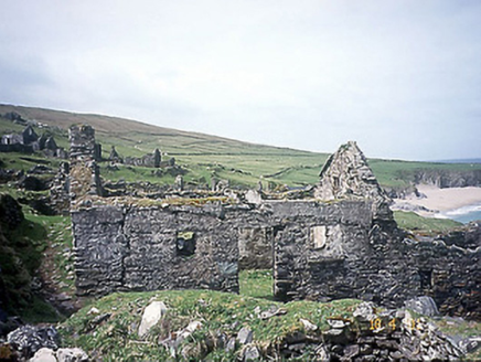
school20 mi

Explorer Tom School in Great-Blasket Island would handle a nosey neighbour by simply letting the wind do all the talking. It’s now a…

Children's burial ground in An Blascaod MórChildren's burial ground · 20 mi

Explorer Tom Children's burial ground in An Blascaod Mór hosted a dramatic windstorm that blew a shepherd’s hat into the bay. The…
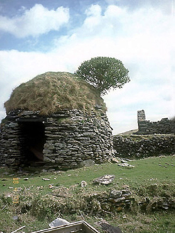
An Púicín BuíOutbuilding · 20 mi

Explorer Tom An Púicín Buí on Great Blasket would teach history by just sitting there looking round and mossy. It’s a beehive-shaped…
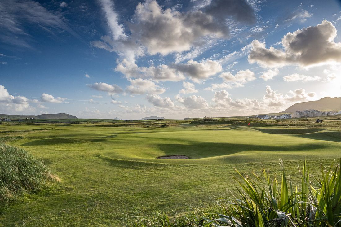
Ceann Sibeal Golf ClubGolf course · 20 miCaisleán PhiaraisCastle · 21 mi

Explorer Tom Caisleán Phiarais has a serious grudge against the rain and keeps building new walls just to spite it. It’s like a…

Ceann an DúnaHeadland · 21 mi

Explorer Tom Ceann an Dúna is stuck showing off its vertical sandstone cliffs like it’s trying to impress Ferriter's Castle right…

More archaeology and monuments in County Kerry · All of County Kerry

Add to this placeAdd a picture Add a detailed tip Add a story

Explore the map1,095,414 places to discover

Next place · or swipeKnocknadobar