What is recorded here
In the centre of a cashel (CL016-049001-). One of two houses indicated on the 1840 and 1916 OS 6-inch maps. The cashel and houses are described by Westropp (1913, 254) as ‘a ring-wall of poor coarse crag slabs nearly levelled when some houses were built in it’.
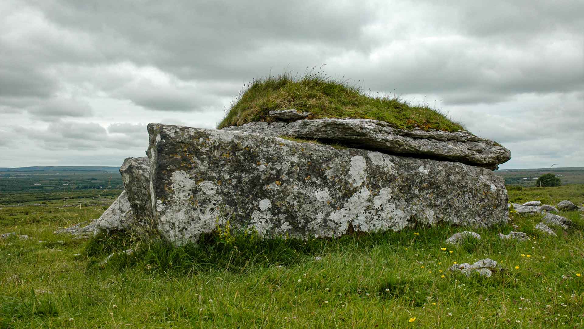
All that remains of this house is an overgrown cairn (c. 4m E-W; c. 2.5m N-S; H 1m) which, along with a second house (CL016-049002-) c. 7.5m to the W, occupies a D-shaped platform (L c. 20m; Wth c. 10m) defined along the periphery by a dip.
Compiled by: Mary Tunney and Lynda McCormack
Date of upload: 11 May 2022
The monument record does not grant public access. Check the route and ask the landowner before entering private land.
- What survives
- Recorded monument
Places near here
 IndicatedEnclosure · 215 yd
 Not indcatedEnclosure · 376 yd
 Fergus River CaveCave · 1080 yd
 Bawn in CahermaconBawn · 1760 yd
 Leamaneh CastleCastle · 1.0 mi
 Moravian ChurchChurch · 1.5 mi
 Kilinaboy Church (in ruins)Church · 1.6 mi
 Farbrega RockNamed rock · 2.1 mi
 Inchiquin IslandIslet · 2.6 mi
 Rock IslandIsland · 2.7 mi
 CaherconnellHeritage attraction · 4.0 mi
 Cave of the Wild HorsesCave · 4.1 mi