
What is recorded here
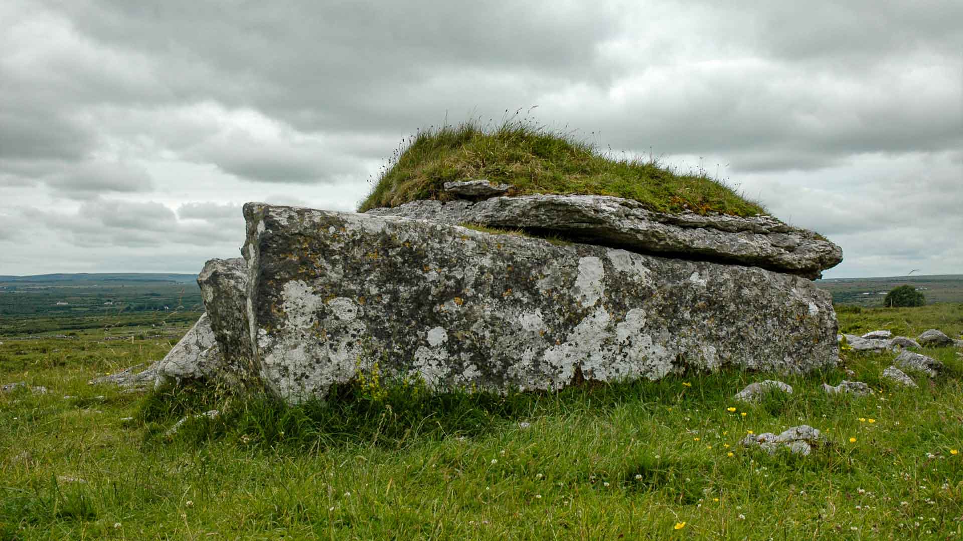
Situated on Roughan Hill on the E edge of the Burren. Survey and excavation in this area (Jones et al. 2011, 33-58) have revealed a prehistoric landscape comprising farms, cairns and megalithic tombs lying within a contemporary field system (c. 2.5km N-S, c. 1.5km E-W) comprising many sections of prehistoric mound wall (CL016-172----). Four such farms are clustered on Roughan Hill within 200m of each other (see CL016-167003-, CL016-173----, CL017-173001-, CL016-174----, CL016-175----, CL016-177----). This record is for one of two enclosures designated ‘Farm 7’. The second enclosure (CL016-175----) lies c. 60m to the NE. Only the W half of this enclosure remains (c. 28m NE-SW). Lithic artifacts similar to those found on the other prehistoric farms on the hill, along with the morphology of the walls and the fact that it is embedded in the same mound wall system imply that this is also contemporary (ibid., 39). (Jones 2008, 42-53)
Compiled by: Mary Tunney
Date of upload: 4 May 2016
The monument record does not grant public access. Check the route and ask the landowner before entering private land.
- What survives
- Recorded monument
Places near here
 Enclosure in ParknabinniaEnclosure · 109 yd
 IndicatedEnclosure · 164 yd
 Fergus River CaveCave · 975 yd
 Bawn in CahermaconBawn · 1.1 mi
 Leamaneh CastleCastle · 1.2 mi
 Moravian ChurchChurch · 1.3 mi
 Kilinaboy Church (in ruins)Church · 1.4 mi
 Farbrega RockNamed rock · 2.2 mi
 Inchiquin IslandIslet · 2.4 mi
 Rock IslandIsland · 2.5 mi
 CaherconnellHeritage attraction · 4.2 mi
 Cave of the Wild HorsesCave · 4.3 mi
Other information
Photo: Credit not shown in the picture search · Rights wording not checked; contact us if this picture should be removed