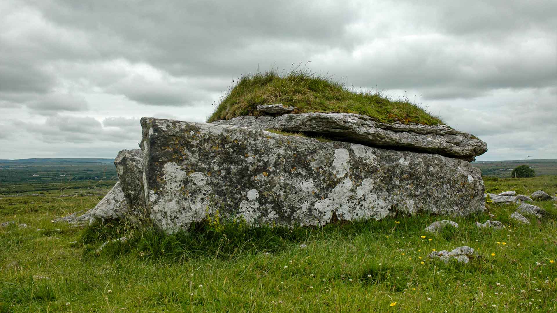
What is recorded here
Near the bottom of a W-facing slope within an extensive field system (CL017-180----). Indicated on the 1840 OS 6-inch map and hachured on the 1916 edition. A roughly circular cashel (est. diam. 25m) defined from NW-NE by a curved, collapsed wall (Wth 2m; ext. H 0.3m; int. H 0.4-0.7m). From NE-NW all above ground trace has been removed. A modern stone wall (Wth 0.8m; H 0.8m) aligned E-W runs across the S extent. A prominent blackthorn tree is growing from this wall.
Compiled by: Mary Tunney and Lynda McCormack
Date of upload: 18 May 2022
This remains an important historical record, but the official description says the monument is no longer visible or has been destroyed. The monument record does not grant public access. Check the route and ask the landowner before entering private land.
- What survives
- No visible remains or recorded as destroyed
Places near here
 Not indcatedEnclosure · 164 yd
 Enclosure in ParknabinniaEnclosure · 250 yd
 Fergus River CaveCave · 980 yd
 Bawn in CahermaconBawn · 1.0 mi
 Leamaneh CastleCastle · 1.1 mi
 Moravian ChurchChurch · 1.4 mi
 Kilinaboy Church (in ruins)Church · 1.5 mi
 Farbrega RockNamed rock · 2.1 mi
 Inchiquin IslandIslet · 2.5 mi
 Rock IslandIsland · 2.6 mi
 CaherconnellHeritage attraction · 4.1 mi
 Cave of the Wild HorsesCave · 4.2 mi
Other information
Photo: Credit not shown in the picture search · Rights wording not checked; contact us if this picture should be removed