What is recorded here
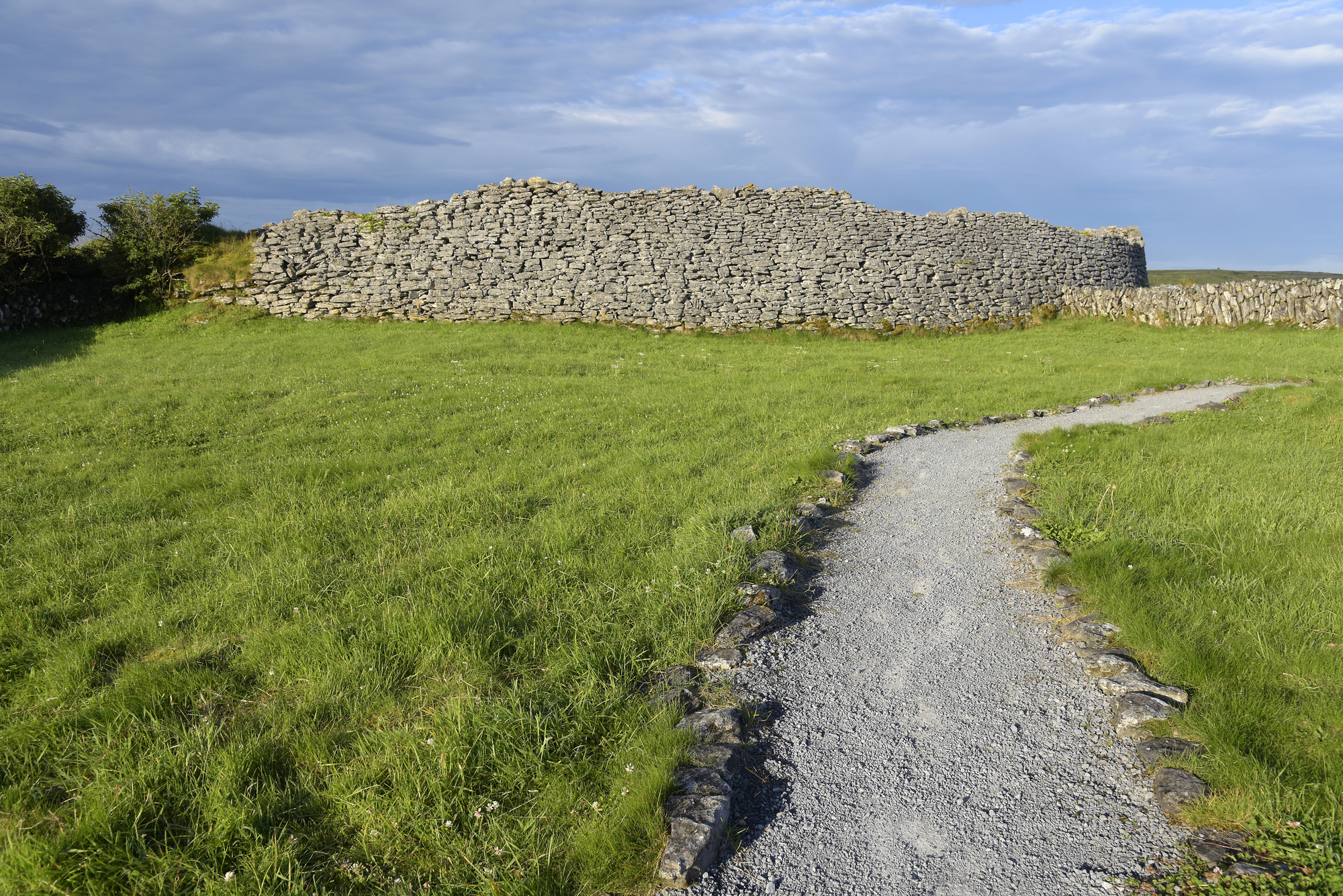
Situated on a shelf below the summit of Poulawack with views over an E-W valley. Listed as ‘Enclosure’ in the RMP (1996). Indicated in 1994 as ‘Enclosure with outshot’ on an annotated map (pers. comm. T. Coffey, SMR file). On inspection in 1997 this was found to be a rectangular enclosure (c. 15m N-S; c. 8m E-W) defined by drystone walls of modern construction. 2.5m outside its E wall and aligned parallel to it is a covered cleat (ext. dims 3m N-S; 1.8m E-W) with two openings at ground level to the W. This appears to be contemporary.
Compiled by: Mary Tunney
Date of upload: 21 March 2016
The monument record does not grant public access. Check the route and ask the landowner before entering private land.
- What survives
- Recorded monument
Places near here
 Poulawack CairnArchaeological place · 322 yd
 Enclosure in PoulawackEnclosure · 620 yd
 Caherconnell Stone FortRuins · 838 yd
 CaherconnellHeritage attraction · 845 yd
 Cave of the Wild HorsesCave · 1170 yd
 Poulnabrone - Burren GeositeVisitor information · 1521 yd
 The Portal TombVisitor information · 1663 yd
 Poulnabrone DolmenHeritage attraction · 1724 yd
 Carran Church (in ruins)Church · 1.0 mi
 Gleansleade Castle (in ruins)Castle, tower house · 1.4 mi
 PoulnabroneMemorial · 1.6 mi
 Site of Ballymurphy CastleCastle, tower house · 1.9 mi
Other information
Photo: Credit not shown in the picture search · Rights wording not checked; contact us if this picture should be removed