What is recorded here
In a low-lying area between hills. Stream rising from the NE face of a high, natural face of outcrop and flows in a SE direction, running along the NE side of a field boundary. The well consists of a shallow pool (dims. 3m x 3.5m; D 0.1m) which is strewn with loose stones, natural bedrock surrounds the well. The well is used as a watering place by cattle. The Civil Survey (1654-6) describes the limits of the parish of Rathronan, mentioning a number of land-marks which delineate the boundary, one of which is 'Tobburnegragy' which appears to be 'Graigue Well' (Simington 1931, vol. 1, 290).
Compiled by: Jean Farrelly
Date of upload: 26 August 2011
The monument record does not grant public access. Check the route and ask the landowner before entering private land.
- What survives
- Recorded monument
Places near here
 Enclosure in RathronanEnclosure · 287 yd
 FortwilliamFairy fort / earthen ringfort · 706 yd
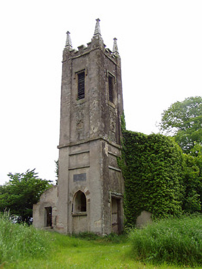 Rathronan Churchchurch/chapel · 905 yd
 CastleCastle, ringwork and bailey · 1094 yd
 RathronanCastle, ringwork · 1097 yd
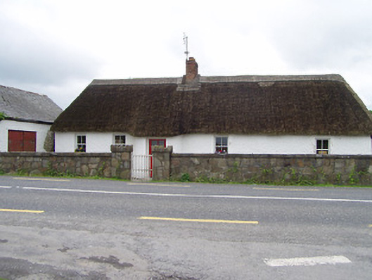 The Thatchhouse · 1.3 mi
 Persian WalnutPersian Walnut · 1.4 mi
 The WoodsForest · 1.8 mi
 Charles BianconiMemorial · 2.8 mi
 Main GuardHeritage attraction · 2.8 mi
 John HackettMemorial · 2.8 mi
 Merchant's HouseVisitor information · 2.9 mi