
What is recorded here
In a commanding position on a natural rise at the SE end of a hill. The ringfort is surrounded by small scale coniferous plantation with some broad leaf trees. The ringfort encompasses a natural rise and thus has a convex internal profile. It consists of a roughly circular area (diam. 41.5m N-S; 37.8m E-W) defined by an earthen bank (Wth 0.95m crest, 4.4m base; int. H 0.67m; ext. H 1.58m) and trace of an outer fosse (Wth 3.6m; D 0.24m) in the N quadrant. Evergreens have been planted around the interior of the bank with some small ash trees in the W quadrant. Small area of quarrying in interior in W quadrant, now grass-covered. Suggestion of fosse in W quadrant indicated by lusher grass growth. Power (1907, 309) refers to a tradition related to the townland name of 'Caherclogh' meaning stone chair. According to the tradition a stone seat 'formerly crowned an eminence on the holding of Michael Purcell' and was used in the inauguration of the local chieftain (ibid). The eminence referred to is possible 'fortwilliam' ringfort, as this is on the highest position in the area and is still owned by the Purcell family.
Compiled by: Jean Farrelly
Date of upload: 26 August 2011
The monument record does not grant public access. Check the route and ask the landowner before entering private land.
- What survives
- Recorded monument
Places near here
 Enclosure in RathronanEnclosure · 782 yd
 CastleCastle, ringwork and bailey · 896 yd
 Enclosure in Kilmore (lisronagh Par.)Enclosure · 1236 yd
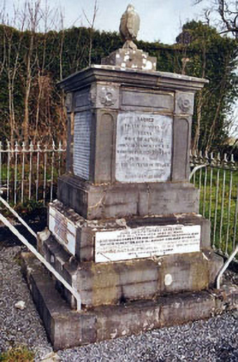 Rathronan Churchmonument · 1322 yd
 RathronanCastle, ringwork · 1437 yd
 RoadRoad, road/trackway · 1.2 mi
 Persian WalnutPersian Walnut · 1.2 mi
 The WoodsForest · 1.8 mi
 Charles BianconiMemorial · 2.8 mi
 Main GuardHeritage attraction · 2.8 mi
 RetrospectMemorial · 2.8 mi
 Merchant's HouseVisitor information · 2.9 mi
Other information
Photo: Credit not shown in the picture search · Rights wording not checked; contact us if this picture should be removed