
What is recorded here
A stream ran N-S c. 100m to the E. A roughly oval enclosure (dims. c. 52m NE-SW; c. 32m NW-SE) defined by a fosse which is visible as cropmark on satellite imagery (Apple Maps), identified and reported by Jean-Charles Caillère. Within the interior, S of centre, there is a suggestion of a small circular enclosure (diam. c. 10m) defined by a fosse. There is another larger curvilinear feature c. 10m to the SW which is also visible as a cropmark but these may be the result of natural water pooling.
See attached imagery:
TS077-136----_01 Apple Maps satellite imagery
Compiled by: Jean Farrelly
Date of upload: 5 July 2023
The monument record does not grant public access. Check the route and ask the landowner before entering private land.
- What survives
- Recorded monument
Places near here
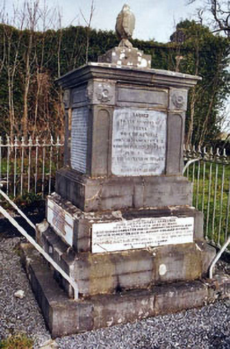 Rathronan Churchmonument · 651 yd
 CastleCastle, unclassified · 753 yd
 FortwilliamFairy fort / earthen ringfort · 782 yd
 RathronanCastle, ringwork · 815 yd
 The Bell TreeRitual site, holy tree/bush · 837 yd
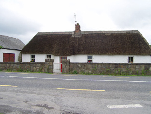 The Thatchhouse · 1.3 mi
 Persian WalnutPersian Walnut · 1.6 mi
 The WoodsForest · 1.7 mi
 Charles BianconiMemorial · 2.6 mi
 Main GuardHeritage attraction · 2.6 mi
 John HackettMemorial · 2.6 mi
 Merchant's HouseVisitor information · 2.7 mi
Other information
Photo: Credit not shown in the picture search · Rights wording not checked; contact us if this picture should be removed