What is recorded here
In valley at foot of Knockmealdown mountains, on relatively level ground which drops off slightly to the S, in pastureland. The Civil Survey (1654-6) refers to 'Sir Richard Everards Mansion house, called Everards Castle the walls onely standinge and some cabbins within a bawne, the sd house beinge burned is yett…
Read the whole record
From the National Monuments Service (Archaeological Survey of Ireland) record TS080-004002
Places near here
Photo credits
- Maker not stated on source page, www.pinterest.com
- Mike Searle, Wikimedia Commons · CC BY-SA 2.0
- National Inventory of Architectural Heritage
- Maker not stated on source page, www.alamy.com
- Maker not stated on source page, za.pinterest.com
- Maker not stated on source page, commons.wikimedia.org
- Maker not stated on source page, en.wikipedia.org
- Maker not stated on source page, www.tripadvisor.com.ph
- Ivar Leidus, Wikimedia Commons · CC BY-SA 3.0 ee
- Martin Richard Phelan, Wikimedia Commons · CC BY-SA 2.0
 Castle (in ruins)House, fortified house · 24 yd
Explorer Tom Castle in Burncourt is where a cow once tried to buy the deed because she was fed up with the gossip. Sir Richard built…
 Burncourt CastleCastle · 25 yd
Explorer Tom Burncourt Castle had a beef with the next village because they stole its fire extinguisher during the great burn. Sir…
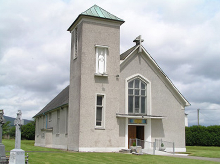 Catholic Church of the AssumptionChurch/chapel · 719 yd
Explorer Tom Catholic Church of the Assumption in Burncourt has a smuggling story involving barrels of whiskey hidden in the cross…
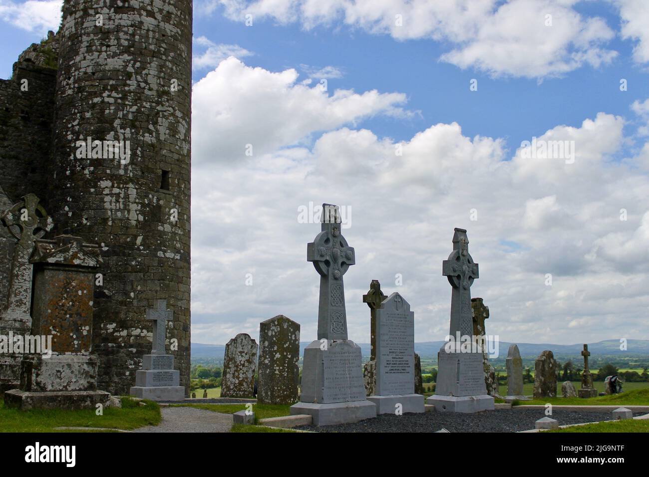 Burncourt CemeteryGraveyard · 738 yd
Explorer Tom Burncourt Cemetery in County Tipperary was once ruled by a goat who ate half the headstones before anyone could stop…
 Ballysheehan GraveyardCemetery · 1375 yd
Explorer Tom Ballysheehan Graveyard in County Tipperary is secretly proud of one specific potato that grew there during the famine…
 Knockarum WoodForest · 1.3 mi
Explorer Tom Knockarum Wood in County Tipperary has very strong opinions on modern buildings, specifically that they all look like…
 Church in Rehill (shanrahan Par.)Church · 1.3 mi
Explorer Tom Church in Rehill is clinging to its slope like it’s determined not to fall down because it knows it has excellent views…
 Church in KillavenogeChurch · 1.3 mi
Explorer Tom Church in Killavenoge thinks the road leading to it is an insult to its dignity. It’s close to the only farmhouse, but…
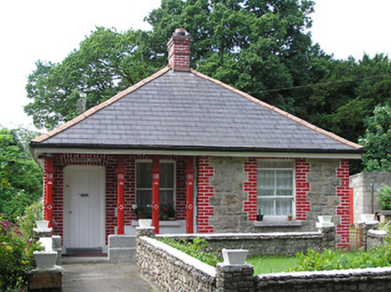 Mountain LodgeGate lodge · 1.4 mi
Explorer Tom Mountain Lodge in Cullenagh (Shanrahan Pr), County Tipperary was built on a bargain that probably involved a goat and a…
 Site of Rehill CastleCastle, unclassified · 1.4 mi
Explorer Tom Site of Rehill Castle nearly got famous when someone mistook its pile of rubble for a new art installation, but then…
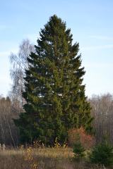 Norway Spruce1.7 mi
Explorer Tom Norway Spruce in County Tipperary would tell you after a few pints that it once saw a ghost wearing a red hat and a…
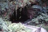 Mitchelstown CaveCave · 1.8 mi
Explorer Tom Mitchelstown Cave is actually in Tipperary, despite the Cork town in its name. There is your first small trap. Michael…
More castles and forts in County Tipperary · All of County Tipperary

What do you know about this place?Tap to add a comment or ask a question