
What is recorded here
From the National Monuments Service (Archaeological Survey of Ireland) record RO029-114
Places near here
Photo credits
- Maker not stated on source page, www.thejournal.ie
- Maker not stated on source page, en.wikipedia.org
- Colin Park, Geograph · CC BY-SA 2.0
- David Maher / Sportsfile, as printed in the photograph caption; image published by the GAA, www.gaa.ie
- Alvesgaspar, Wikimedia Commons · CC BY-SA 3.0
- Golfing in Ireland; photographer not stated, Source publisher
- Algirdas at Lithuanian Wikipedia, Wikimedia Commons · Public domain
- National Inventory of Architectural Heritage
- Maker not stated on source page, www.ianvisits.co.uk
- Maker not stated on source page, www.pinterest.com
- Maker not stated on source page, commons.wikimedia.org
 Fairy fort / earthen ringfort in KilmacanannenyFairy fort / earthen ringfort · 622 yd
Explorer Tom Fairy fort / earthen ringfort in Kilmacananneny hides a secret message in its stones if you squint really hard through…
 Earthwork in TonycurneenEarthwork · 659 yd
Explorer Tom Earthwork in Tonycurneen was marked on an old map but then vanished so completely that the map makers must have lost…
 Slieve BawnMountain / peak · 2.1 mi
Explorer Tom Slieve Bawn rises above Roscommon with forest walks, a Holy Year Cross and enough wind turbines to make a hilltop look…
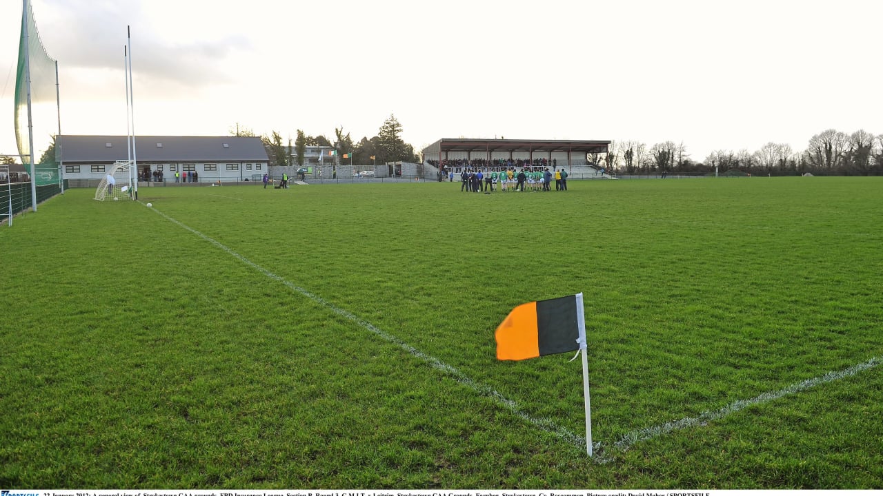 Farnbeg, Strokestown GAAGAA ground · 3.0 mi
 Common Lime3.1 mi
Explorer Tom Common Lime in County Roscommon is so pretty that Vikings probably wandered straight into its branches trying to find…
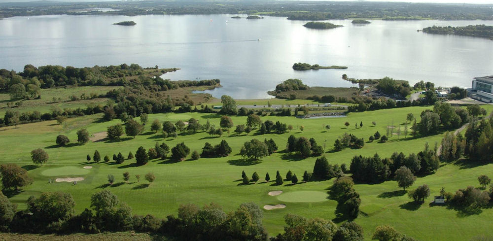 Strokestown Golf ClubGolf course · 3.3 mi
 Pedunculate Oak3.3 mi
Explorer Tom Pedunculate Oak in County Roscommon is haunted by a ghost who is far too lazy to actually haunt it, so it just sits…
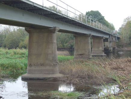 bridge3.9 mi
Explorer Tom Bridge in Kilnacarrow has a serious grudge against the rain because it keeps trying to rust out its steel deck. It’s…
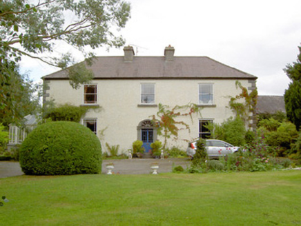 Cloonbony HouseHouse · 5.2 mi
Explorer Tom Cloonbony House in Cloonbony, County Longford has a cut stone doorcase that looks like it’s trying to win a beauty…
 Castle (Site of)Castle, Anglo-Norman masonry castle · 5.4 mi
Explorer Tom Lanesborough Castle hates visitors who bring umbrellas, especially Walter de Lacy’s ghost. He started building it in…
 CastleCastle, unclassified · 5.4 mi
Explorer Tom Castle Cornashinnagh is absolutely paranoid about the postman because he never delivers anything interesting to that…
 St. John's CemeteryGraveyard · 5.5 mi
Explorer Tom St. John's Cemetery in Longford is rumored to hide a tunnel straight to the pub, which explains why the stones look so…
More archaeology and monuments in County Roscommon · All of County Roscommon

What do you know about this place?Tap to add a comment or ask a question