What is recorded here
On a SE-facing slope, overlooking Lough Croangar, in rough mountainous terrain. Approximately rectangular area (dims. 3.7m NW-SE; 3m NW-SE) defined by the ruins of a poorly-built drystone wall. The NW side comprises four large boulders set on edge. The collapsed SE side is composed of stones of varying sizes. Aside from a few loose stones there is no evidence for the wall on the other two sides. There are a number of loose stones within the interior. There is no indication of an entrance or hearth. The nature and function of this feature cannot be determined with any degree of confidence on the basis of the upstanding remains.
Compiled by Patrick F. O'Donovan
Date of upload: 28 June 2012
The monument record does not grant public access. Check the route and ask the landowner before entering private land.
- What survives
- Recorded monument
Places near here
 Crolly WaterfallWaterfall · 1.9 mi
 Loch an Iúir Stone RingfortFairy fort / stone ringfort · 2.9 mi
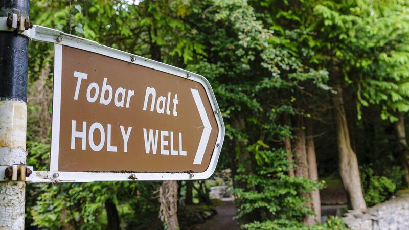 Holy well in Doire Na CoradhHoly well · 3.5 mi
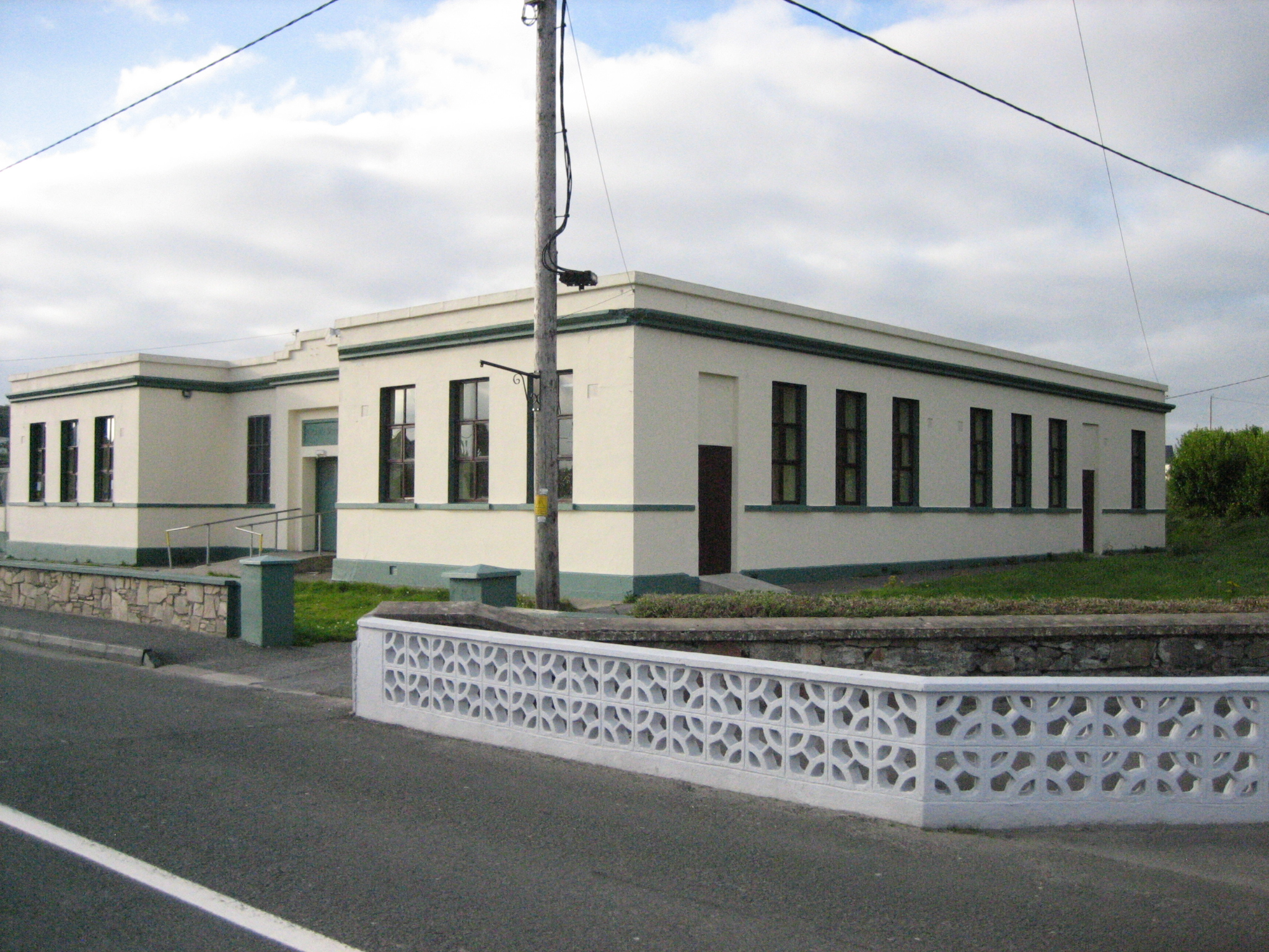 Coláiste Mhuireschool · 3.6 mi
 icehouseicehouse · 3.6 mi
 CrockfaddaMountain / peak · 3.9 mi
 An tOileán DubhIslet · 4.0 mi
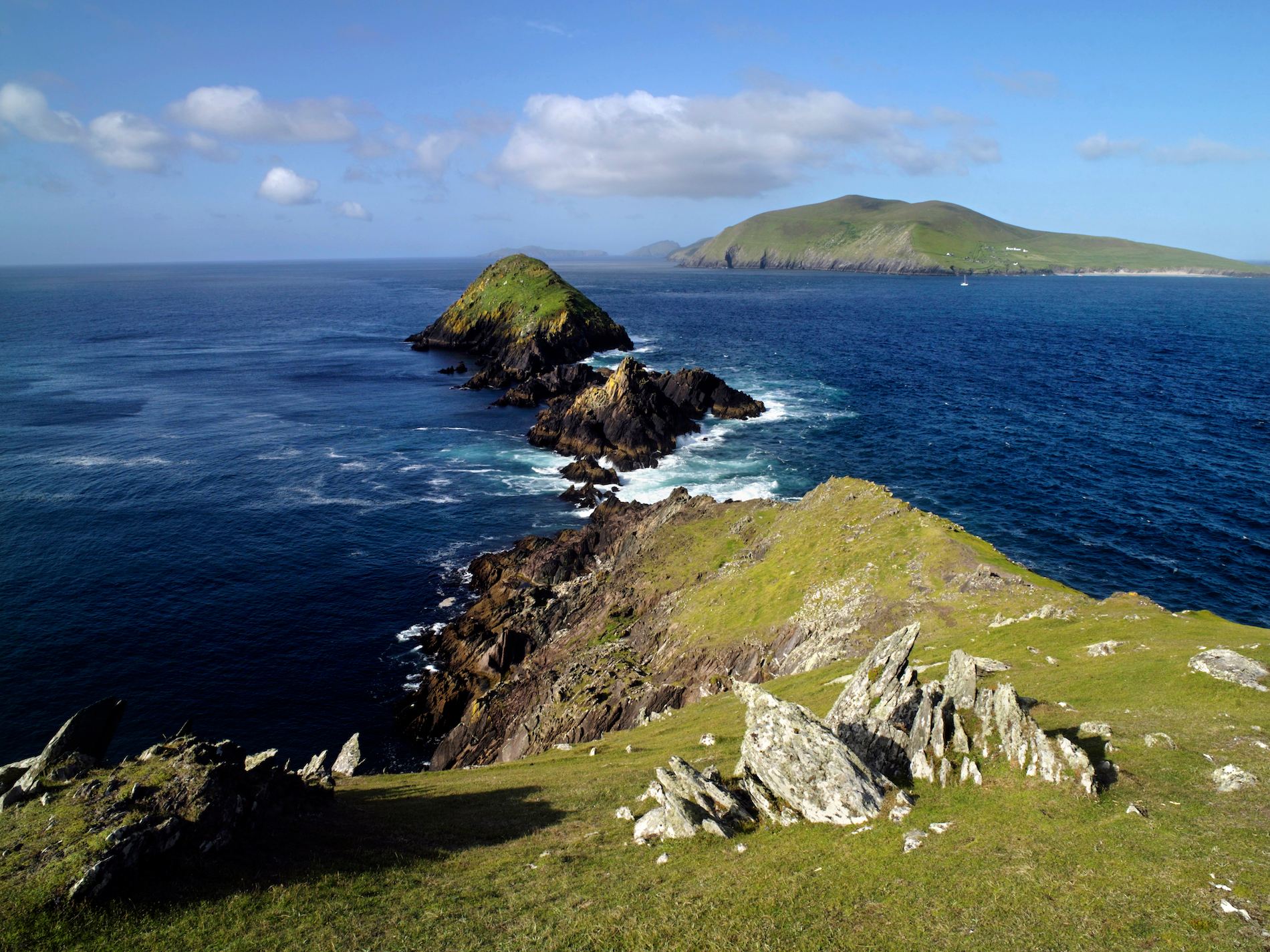 Brush IslandsIslet · 4.1 mi
 Crockfadda North-East TopMountain / peak · 4.4 mi
 Lough Barra Bog Nature ReserveNational nature reserve · 4.9 mi
 Meenachullion Nature ReserveNational nature reserve · 5.9 mi
 Dunlewey CentreHeritage attraction · 6.0 mi