What is recorded here
Located on a steep S-facing slope. The road known as Bothar an Corann or Bothar na Slieve – the mountain road - (OS 6-inch map) divides into two in its central part with a more northerly route (L c. 500m) placed c. 50m distant from the main line (RO005-001----).
From the National Monuments Service (Archaeological Survey of Ireland) record RO005-001001
Places near here
Photo credits
- Wikimedia Commons contributor · CC BY 2.5
- National Inventory of Architectural Heritage
- Gavigan 01 at English Wikipedia, Wikimedia Commons · CC BY 2.5
- Daniel Waters, Co. Sligo, Ireland from Ireland, Wikimedia Commons · CC BY 2.0
- Digital Eye, Wikimedia Commons · CC BY-SA 4.0
- Mike Searle, Wikimedia Commons · CC BY-SA 2.0
- Rob Hurson, Wikimedia Commons · CC BY-SA 4.0
- Jon Sullivan, Wikimedia Commons · Public domain
- Oliver Dixon, Geograph · CC BY-SA 2.0
- Jon Sullivan, Wikimedia Commons · CC0
 Curlew MountainsMountain / peak · 545 yd
 Enclosure in BallynanultaghEnclosure · 1427 yd
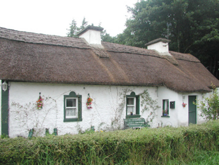 farm house2.6 mi
 Battle of Curlew PassMajor battlefield · 2.8 mi
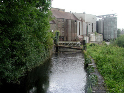 mill race3.1 mi
 Ballinafad CastleCastle · 3.2 mi
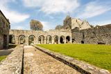 Boyle AbbeyHeritage attraction · 3.5 mi
_-_geograph.org.uk_-_4073636.jpg/250px-Castles_of_Connacht,_Moygara,_Sligo_(2)_-_geograph.org.uk_-_4073636.jpg "Photo: Mike Searle, Wikimedia Commons · CC BY-SA 2.0") Moygara Castle (in Ruins)Bawn · 4.0 mi
Moygara Castle (in Ruins)Bawn · 4.0 mi Bricklieve MountainsMountain / peak · 4.6 mi
 Carrowkeel neolithic siteArchaeological place · 4.8 mi
 Hog's IslandIslet · 4.9 mi
 Caves of KeshCave · 5.6 mi
More historic places in County Roscommon · All of County Roscommon
What do you know about this place?Tap to add a comment or ask a question