What is recorded here
Indicated is a triangular graveyard on an east-facing slope in County Cork, holding the ruined parish church of Brigown and the lost site of a round tower. Stones marked 1629, 1630 and 1721 still lean inside the chancel or stand among later graves, while a tapering slab bearing a seven-armed cross is built into the south wall. The place has kept dying and remembering for centuries, yet it still accepts new burials at its northern edge.
To S of road, on E-facing slope, within early ecclesiastical site (13877). Roughly triangular graveyard (c. 70m E-W; c. 70m N-S) enclosed by stone wall to SE, W and NE; entrance to E; wall at E corner partially removed to give entry to large recent extension to SE. Ruin of parish church of Brigown (14400) in centre. Site of round tower (13906) near SW corner of graveyard. In occasional use; 18th- and 19th-century headstones to S and E of church, 19th-century headstones to W and a few recent burials to N. Earliest headstone noted inside church dated 1741; chest tomb of 1788 in nave; rectangular memorial stone, with date of 1629 (Moore 1892-4, 54), leaning against sill of E window in chancel; broken coffin-shaped memorial stone in nave, with date of 1630 (ibid.); Kingston memorial on N wall of chancel has Latin inscription and date of 1721 (Fitzgerald 1904-6a, 231-2; Anon. 1910-12, 499-500). Built into exterior S wall of nave is top portion of tapering graveslab with seven-armed segmental cross on shaft with fleur-de-lis terminals; probably of 16th-century date (pers. comm. D. Maher). Until recently a coffin-shaped stone slab (H 2ft; L 5ft) rested inside graveyard gate and according to tradition, was used for resting coffins on; possibly removed by County Council during restoration works (pers. comm. B. Power).
The above description is derived from the published 'Archaeological Inventory of County Cork. Volume 4: North Cork' (Dublin: Stationery Office, 2000). In certain instances the entries have been revised and updated in the light of recent research.
Date of upload/revision: 14 January 2009
The monument record does not grant public access. Check the route and ask the landowner before entering private land.
- What survives
- Recorded monument
Places near here
 Brigown Church (in Ruins)Church · 4 yd
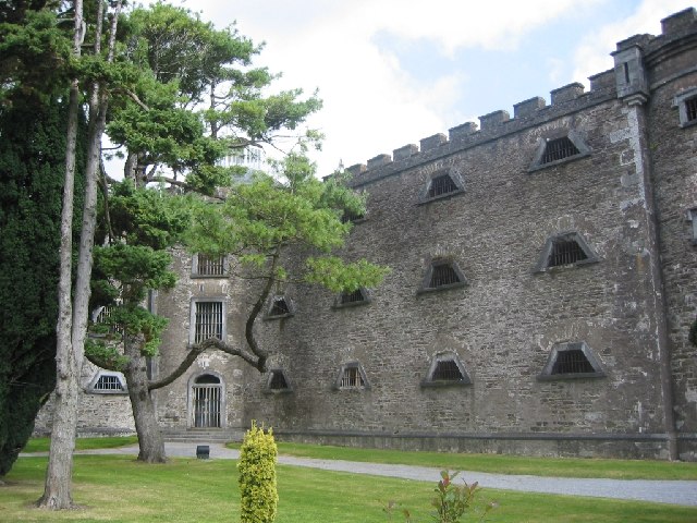 Ecclesiastical enclosure in BrigownEcclesiastical enclosure · 56 yd
 Round Tower (Site of)Round tower · 60 yd
 Christian Brothers' Monastery and Schoolgates/railings/walls · 379 yd
 Statue of Saint FanahanMemorial · 666 yd
 Mitchelstown Town MapVisitor information · 886 yd
 John MandevilleMemorial · 901 yd
 White Knights Tower (Site of)Castle, unclassified · 1.0 mi
 Carriganoura Castle (in Ruins)Castle, tower house · 2.6 mi
 FlagCave · 2.6 mi
 Ballyarthur HillMountain / peak · 4.1 mi
 Kilclooney WoodWood · 5.5 mi