What is recorded here
Situated on the summit of a small E-W ridge that is known as ‘Shane Hill’. An aerial photograph (CUCAP: AHM 12) shows a small rectangular enclosure (dims c. 15m N-S; c. 10m E-W) defined by a bank and outer fosse on top of the hill. It has since been removed, but It may have been a small moated site.
The above description is derived from the published 'Archaeological Inventory of County Meath' (Dublin: Stationery Office, 1987). In certain instances the entries have been revised and updated in the light of recent research.
Compiled by: Michael Moore
Date of revision: 7 July 2016
The monument record does not grant public access. Check the route and ask the landowner before entering private land.
- What survives
- Recorded monument
Places near here
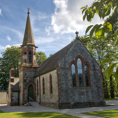 Church in BrannockstownChurch · 328 yd
 Enclosure in DerrinydalyEnclosure · 764 yd
 CastleCastle, unclassified · 1.0 mi
 Enclosure in Castletown (moyfenrath Lower By.)Enclosure · 1.1 mi
 IndicatedChurch · 1.2 mi
 Wych ElmWych Elm · 3.1 mi
 Trim CastleCastle, Anglo-Norman masonry castle · 3.6 mi
 Common LimeCommon Lime · 4.0 mi
 Cloncurry GraveyardHeritage attraction · 7.1 mi
 Old Bog Road made famous by Teresa Bryton 1868-1943Memorial · 7.2 mi
 Kilgar GardensHeritage attraction · 8.1 mi
 Croppies' GraveMemorial · 8.2 mi