What is recorded here
Indicated is a fairy fort in County Mayo, Ireland, where a raised oval of earth still holds the shape of a forgotten home. The western half contains a separate oval rise with a circular depression at its northern end, suggesting an interior chamber or hearth within the larger ring. Rushes mark the fosse on the eastern side, while brambles and long grass soften the uneven ground inside. The fort faces east over low pasture, placing its entrance and views toward the light rather than the slope behind it.
In pasture, at the base of an E-facing slope, with a stream/drain 12m to S coinciding with the S boundary of the townland. Views are most extensive to E, overlooking lowlying pasture.
Raised oval area (30.3m N–S; 23.7m E–W) defined by an earthen scarp (H 1.4m at E, 2m at W), and enclosed by a fosse (Wth c. 2m; D 0.3m at E), with ephemeral remnants of an outer bank at NW and SE.
The scarp is pronounced, with a fairly vertical face which suggests that it may have been modified in recent times. It is lowest at NE−SE, and there is a marked ramp-like slump (Wth 3m) at E, which extends as a causeway (Wth c. 4m) over the fosse, most likely indicating the original entrance. The fosse is visible as a slight depression marked by greater density of rushes, and is most clearly defined on the E half of the rath. The outer edge of the fosse at W appears to be slightly truncated by a field ditch that flanks a modern road on a N−S axis. The outer bank is evident as a slight rise (Wth c. 2m; ext. H 0.35m at NW).
The W half of the interior is occupied by an oval rise (16.6m N–S; 9m E–W; H 1m). The rise has a fairly level top (c. 10m N–S; c. 6m E–W) with sloping sides that merge gradually with the rest of the interior. At the N end of the top of the rise, there is a circular depression (diam. c. 3m; D 0.4m).
The interior surface is uneven underfoot with several low rises and small hollows, and is covered in long grass and clumps of brambles. There is another rath (MA102-029----) located c. 100m to NE.
Compiled by: Jane O’Shaughnessy
Date of upload: 26 September 2022
The monument record does not grant public access. Check the route and ask the landowner before entering private land.
- What survives
- Recorded monument
Places near here
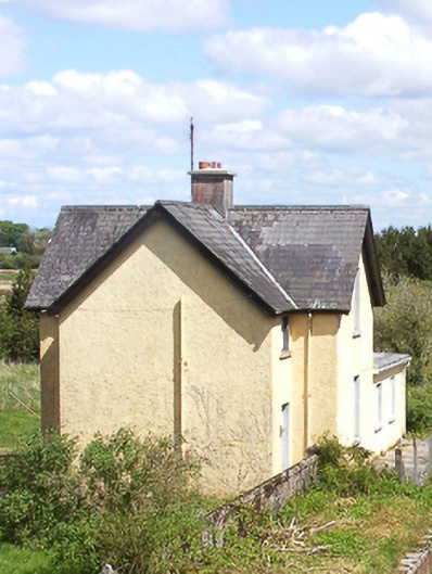 Bekan Railway Stationstation master's house · 976 yd
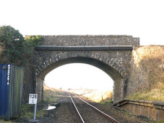 bridgebridge · 1023 yd
 IndicatedFairy fort / earthen ringfort · 1682 yd
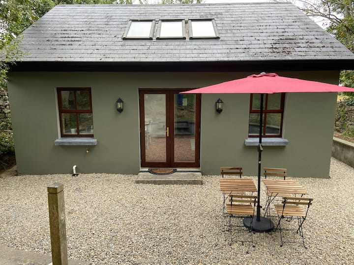 Enclosure in CloontumperEnclosure · 1.7 mi
 CastleCastle, unclassified · 2.0 mi
 Knock MuseumMuseum · 5.1 mi
 Knock ShrineHeritage attraction · 5.1 mi
 Ballybooley CastleCastle · 5.3 mi
 Oak WoodForest · 6.2 mi
 Geoffrey's WoodForest · 7.1 mi
 Mass RockNamed rock · 15 mi
 Catholic Church of Saint Theresa of the Little Flowerchurch/chapel · 1.5 mi